
 | ||
The statistical areas of the United States of America comprise the metropolitan statistical areas (MSAs), the micropolitan statistical areas (μSAs), and the combined statistical areas (CSAs) currently defined by the United States Office of Management and Budget (OMB).
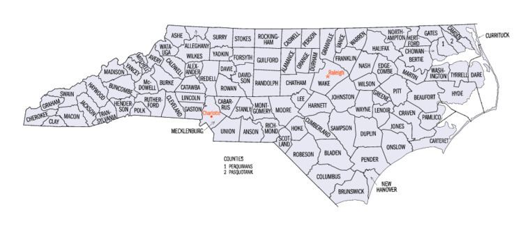
Most recently on July 15, 2015, the Office of Management and Budget defined 1119 statistical areas for the United States and Puerto Rico, including 11 combined statistical areas, 17 metropolitan statistical areas, and 24 micropolitan statistical areas entirely or partially in the State of North Carolina. The table below shows the recent population of these statistical areas and the 100 counties of North Carolina.
Table
The table below describes the 52 United States statistical areas and 100 counties of the State of North Carolina with the following information:
- The combined statistical area (CSA) as designated by the OMB.
- The CSA population as of July 1, 2015, as estimated by the United States Census Bureau.
- The core based statistical area (CBSA) as designated by the OMB.
- The CBSA population as of July 1, 2015, as estimated by the United States Census Bureau.
- The county name.
- The county population as of July 1, 2015, as estimated by the United States Census Bureau.