
Length 18.1 km | ||
 | ||
South end: Jiyang Road in Pudong New Area North end: Shanghai S20 / Shanghai S127 (Wenchuan Highway) in Baoshan District | ||
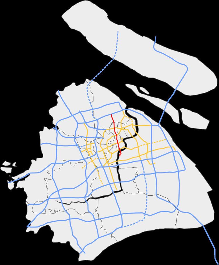
North–South Elevated Road (Chinese: 南北高架路; pinyin: Nánběi Gāojiàlù; literally: "South–North Elevated Road") is an elevated expressway in the city of Shanghai, China. It begins to the south at Jiyang Road in Pudong New Area, crosses the Huangpu River into Puxi using the Lupu Bridge, and then traverses through Puxi to the Outer Ring Expressway in Baoshan District.
Contents
Map of Nan Bei Gao Jia Lu, Shanghai Shi, China
Construction on the first phase of the expressway, from the Lupu Bridge to Liuying Road started on 25 October 1993 and was completed on 10 December 1995.
Construction of the second phase, from Liuying Road to Outer Ring Expressway coincided with the northern extension of Shanghai Metro Line 1. The metro line is the first level above street level, while the expressway is the second level above street level. This phase was completed on 4 December 2002.