
Country United States FIPS code 05-50060 Elevation 55 m Zip code 71759 Population 835 (2013) | Time zone Central (CST) (UTC-6) GNIS feature ID 0058272 Area 5.3 km² Local time Friday 5:11 AM Area code 870 | |
 | ||
Weather 7°C, Wind SE at 2 km/h, 100% Humidity | ||
How to say or pronounce usa cities norphlet arkansas
Norphlet is a city in Union County, Arkansas, United States. As of the 2000 census the population stood at 822.
Contents
- How to say or pronounce usa cities norphlet arkansas
- Map of Norphlet AR USA
- History
- Geography
- Demographics
- Public education
- Public library
- References
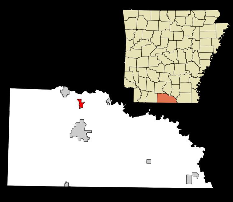
Map of Norphlet, AR, USA
History
Norphlet was called Jesse in the 1880s. The Post Office was created in 1891. The town originally centered around William G. Miles's Sawmill. The town was named for Nauphlet Goodwin. The name of the town was misspelled by the Postal Department when the Post Office was created. The word, Nauphlet, was written in long hand and looked like Norphlet to the people in the Postal Department. So, the papers for the post office were issued for Norphlet.
Oil was discovered at Norphlet in 1922. The formation in which the oil was discovered led to 'Norphlet' becoming a geological term - a Norphlet Formation is a Jurassic Sandstone Formation.
Geography
Norphlet is located at 33°19′4″N 92°39′50″W (33.317824, -92.663985).
According to the United States Census Bureau, the city has a total area of 2.1 square miles (5.4 km2), all of it land.
Demographics
As of the census of 2000, there were 822 people, 311 households, and 236 families residing in the city. The population density was 398.0 people per square mile (153.3/km²). There were 343 housing units at an average density of 166.1/sq mi (64.0/km²). The racial make-up of the city was 94.77% White, 3.16% Black or African American, 0.36% Native American, 1.09% from other races, and 0.61% from two or more races. 2.19% of the population were Hispanic or Latino of any race.
There were 311 households out of which 38.6% had children under the age of 18 living with them, 63.7% were married couples living together, 9.6% had a female householder with no husband present, and 24.1% were non-families. 22.2% of all households were made up of individuals and 11.6% had someone living alone who was 65 years of age or older. The average household size was 2.64 and the average family size was 3.11.
In the city, the population was spread out with 28.7% under the age of 18, 7.4% from 18 to 24, 28.7% from 25 to 44, 21.9% from 45 to 64, and 13.3% who were 65 years of age or older. The median age was 36 years. For every 100 females there were 89.0 males. For every 100 females age 18 and over, there were 86.0 males.
The median income for a household in the city was $39,063, and the median income for a family was $45,500. Males had a median income of $38,214 versus $23,864 for females. The per capita income for the city was $15,754. About 7.5% of families and 10.1% of the population were below the poverty line, including 12.7% of those under age 18 and 4.2% of those age 65 or over.
Public education
Public education for early childhood, elementary and secondary school students is primarily provided by the Norphlet School District, which includes:
Public library
The Norphlet Public Library is a branch library of the Barton Library System, which is based in El Dorado.