
Populated by Chichimecas 1134 Municipal Status October 19, 1871 Elevation 2,450 m Area 87.94 km² Population 8,182 (2005) | Part of the Great Otompan Mayoralty 1535 Time zone CST (UTC-6) Founded 19 October 1871 Local time Wednesday 1:40 AM | |
 | ||
Weather 14°C, Wind SE at 8 km/h, 37% Humidity | ||
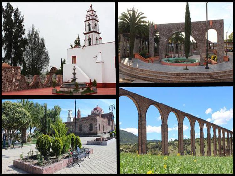
Nopaltepec is a village and municipality in State of Mexico, Mexico. It is approximately 250 km from Toluca, the state capital. The name derives from Náhuatl meaning "on nopal (paddle cactus) hill". It was originally called "Santa María de la Asunción Nopaltepec" but, after 1960, only Nopaltepec has been used.
Contents
Map of Nopaltepec, State of Mexico, Mexico
The village
The village first appears in records around 1603 though villages in this area have existed since pre-Hispanic times. The village officially becomes the municipal seat in 1872. In 1901 the Parish of Nopaltepec is established and was expanded in 1932. The village had a population of 3,224 in 2005.
The municipality
As municipal seat, the village of Nopaltepec has governing jurisdiction over the following communities: Ex-hacienda la Puerta, San Felipe Teotitlán, San Miguel Atepoxco, Santa Inés Amiltepec, Ex-hacienda de Tepatepec, Colonia Venta de Cruz, Las Ambrises, and Rancho San Felipe (Moratepec).
The municipality has 87.94 square km of territory and a total population of 8,182 as of 2005. It is bordered by the municipality of Axapusco and the state of Hidalgo.
The municipality is principally rural, mainly flat plateau with small elevations. With no lakes or rivers, all water supplies come from underground aquifers. Its flora is adapted to its semi-arid climate and include: pirúl, mezquite, licorice root, sweet acacia, date palm, maguey, various varieties of nopal eucalyptus, camphor, pine, trueno, mimosa, ash tree, and ornamental palms. Wild fauna include: rabbits, hares, squirrels, skunks, cacomixtle, tlacuache, chachahuate, lizards, cencuate, trout, rattlesnakes, linger and scorpions. Agriculture is the primary economic activity with the production of cactus fruit, pulque and basic grains for auto-consumption. There is some fish-farming here as well. There is almost no livestock here and only a few home-based workshops producing clothing, plastic items, plumbing, and metalworks.
History
The villages of this area in the pre-Hispanic era, were dominated by the Teotihuacan culture. Around 1134, the Chichimecas migrated here from what is now the north of Mexico, taking over these same villages. What now the municipality was part of the dominion of Xaltoca around 1200 and when this lord fell, the kind King Xolotl consolidated this area along with Teotitln, Atepoxco, as well as other villages of the time. During the Aztec empire, Nopalteppec was part of the Acolhua region. After the Conquest, the area became part of the "alcaldia mayor" (lit. major mayorship) of Otompan and would remain so throughout the 18th century. The municipality would not be officially declared until 1871 with the name of Santa María de la Asunción Nopaltepec.
The Battle of Venta de Cruz took place here in 1816 as part of the Mexican War of Independence.