
Country Thailand Time zone ICT (UTC+7) Area 659.4 km² Province Udon Thani Province | Seat Thap Kung Postal code 41340 Population 25,802 (2005) Geocode 4121 | |
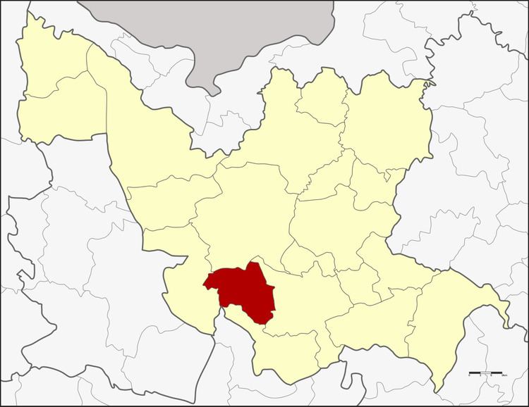 | ||
Nong Saeng (Thai: หนองแสง) is a district (amphoe) of Udon Thani Province, northeastern Thailand.
Contents
Map of Nong Saeng District, Udon Thani 41340, Thailand
Geography
Neighboring districts are (from the west clockwise) Nong Wua So, Mueang Udon Thani, Kumphawapi, and Non Sa-at of Udon Thani Province, and Khao Suan Kwang of Khon Kaen Province.
History
The area of the district was originally part of Kumphawapi District. It was made a minor district (king amphoe) on 1 January 1981, then consisting of two tambon and 27 villages. The district office was opened in village three of tambon Nong Saeng on 1 January 1983.
Administration
The district is divided into four sub-districts (tambon), which are further subdivided into 38 villages (muban). Saeng Sawang is a township (thesaban tambon) which covers parts of tambon Saeng Sawang. There are further four tambon administrative organizations (TAO).