
Commune Nkayi Area 8 km² Local time Tuesday 11:18 AM | Region Bouenza Region Elevation 181 m (594 ft) Population 71,620 (2007) Area code 242 | |
 | ||
Weather 30°C, Wind S at 6 km/h, 74% Humidity | ||
Nkayi is a town and a commune in the Bouenza Department of the Republic of the Congo. It is the country's fourth largest city with a population of 71620 (2007 census).
Contents
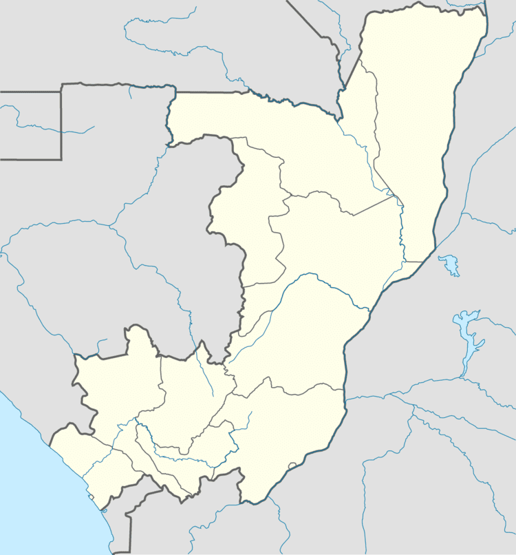
Map of Nkayi, Republic of the Congo
Nkayi is a major sugar production centre in the country.
Transport
The city is served by a station on the national railway network, the Congo-Ocean Railway. It is home to Yokangassi Airport, also known as Nkayi Airport.
History
Situated in the fertile Niari Valley, the town was named Jacob in 1887. That was the name of the French engineer who led the first mission to select the best route for the Congo-Ocean Railway. Then the city began growing thanks to the thriving sugar cane plantations led by important agroindustries. In 1975, Jacob had a population of 25,000, and its name was changed to the native one of Nkayi.
The city is the fourth largest town in the Republic of the Congo since 1980.
Since 2004, Nkayi has got the status of commune and is divided in two urban districts (arrondissements):
- Mouana Nto (Mouana Ntô)
- Soulouka