
Country United States GNIS feature ID 0766382 Area 190.2 km² Population 790 (2010) | FIPS code 29-52508 Elevation 253 m Local time Monday 6:23 PM | |
 | ||
Weather 12°C, Wind NW at 13 km/h, 93% Humidity | ||
Nine Mile Prairie Township is one of eighteen townships in Callaway County, Missouri, USA. As of the 2010 census, its population was 790.
Contents
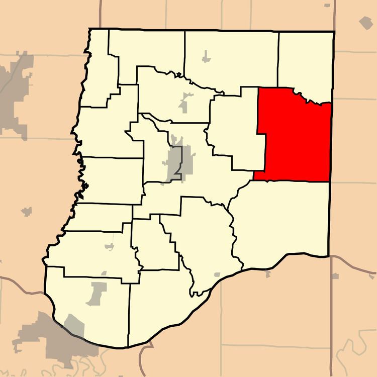
Map of Nine Mile Prairie Township, MO, USA
Nine Mile Prairie Township was named for a 9-mile (14 km) long prairie located within its borders.
Geography
Nine Mile Prairie Township covers an area of 73.44 square miles (190.2 km2) and contains no incorporated settlements. It contains six cemeteries: Allen, Antipch, Gregory, Oak Grove, Tate and Whitehead.
The streams of Bragg Branch, Bull Branch and Clarks Branch run through this township.
Transportation
Nine Mile Prairie Township contains one airport or landing strip, Eckerts Airstrip.
References
Nine Mile Prairie Township, Callaway County, Missouri Wikipedia(Text) CC BY-SA