
OS grid reference NT175576 Sovereign state United Kingdom Postcode district EH26 Local time Tuesday 12:21 AM | Post town PENICUIK Dialling code 01968 | |
 | ||
Weather 5°C, Wind E at 11 km/h, 91% Humidity Scottish parliament | ||
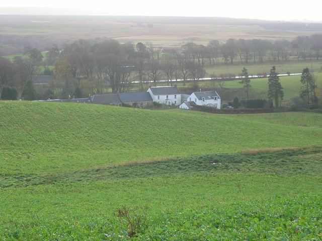
Nine Mile Burn is the last hamlet in Midlothian, Scotland when heading south on the A702 road.
Map of Nine Mile Burn, Penicuik, UK
It is located next to the Pentland Hills, about 2 km north-east of the village of Carlops, and is in the parish of Penicuik.
References
Nine Mile Burn Wikipedia(Text) CC BY-SA