
Elevation 2,022 m (6,634 ft) | Population 17,946 (2015) | |
 | ||
Time zone Afghanistan Standard Time (UTC+4:30) | ||
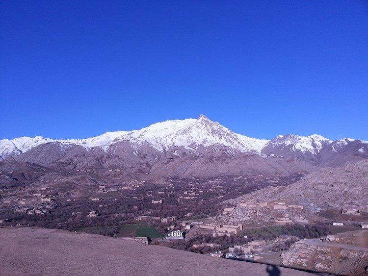
Nili is the capital city of Nili District, Daykundi Province, Afghanistan. The town of Nili is at 2,022 m altitude and has a small airport (heliport) with a gravel runway and a commercial radio station. The weather conditions in the winter are severe and the roads are difficult.
Map of Nilli, Afghanistan
Due to Nili's geographical inaccessibility and acute security problems, it was not until April 2007 that the United Nations opened an office in Nili of UNAMA (United Nations Assistance Mission in Afghanistan). The town lies almost in the geographical center of the country and the Hazarajat region. The entire population of the District and the town consists of the Hazara ethnic group.
In December 2008, Ms. Azra Jafari was named by President Karzai to be the mayor of Nili, thus becoming Afghanistan's first female mayor.
The city of Nili has a population of 17,946 (2015) and has total land area of 9,022 hectares. There are 1,994 total number of dwellings in Nili city.
Nili is an urban village in central Afghanistan in which the majority of the land (98%) is not built-up. Barren land is the largest land use and accounts for 79% of total land area. There are only 239 hectares of built-up land use, of which 35% is residential and 40% is vacant plots.