
District Nienburg Time zone CET/CEST (UTC+1/+2) Population 30,691 (31 Dec 2014) | Elevation 25 m (82 ft) Postal codes 31582 Local time Monday 11:03 AM | |
 | ||
Weather 12°C, Wind SE at 6 km/h, 53% Humidity Points of interest Museum Nienburg, Stockturm, Wölpe | ||
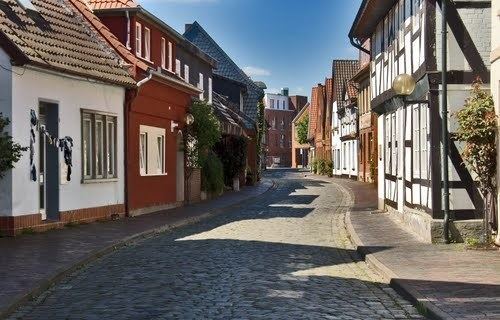
Nienburg (official name: Nienburg/Weser) (Low German: Nienborg, Neenborg or Negenborg) is a town and capital of the district Nienburg, in Lower Saxony, Germany.
Contents
- Map of 31582 Nienburg Germany
- Geography
- Demography
- Structure
- History
- Mayor
- Local council Stadtrat
- International relations
- Sons and daughters of the town
- References
Map of 31582 Nienburg, Germany
Geography
Situated on the scenic German Timber-Frame Road, Nienburg lies on the river Weser, approximately 55 km (34 mi) southeast of Bremen, and 45 km (28 mi) northwest of Hanover. Nienburg is the largest town in the Middle Weser Region.
Demography
(as of Dec. 31st)
Structure
Nienburg, including quarters
History
The major reason for the emergence and development of Nienburg into the largest city in the Middle Weser region was its location at a convenient ford in the Weser River, leading to multiple trade routes radiating from the location. As early as 1025 the location was referred to as Negenborg, i.e. New Castle. In 1215 it began to be referred to as a city, a civitas, when Count Henry I of Hoya began the residence of his ruling line. From 1582 until 1866 the Guelph (Welf) Dukes of Brunswick-Lüneburg controlled the county, except for Napoleonic French rule from 1803 to 1813.
The former suburb Wölpe refers to Grafen (earl) von Wölpe and the associated castle.
Mayor
The mayor is Henning Onkes (independent). He was reelected in 2014 against three competitors.
Local council (Stadtrat)
The 38 members of the "Stadtrat" are divided among:
International relations
Nienburg, Lower Saxony is twinned with: