
Admin. region Oberbayern Elevation 442 m (1,450 ft) Area 26.69 km² Population 1,325 (31 Dec 2008) Dialling code 08639 | Time zone CET/CEST (UTC+1/+2) Local time Monday 9:45 AM Postal code 84494 | |
 | ||
Weather 5°C, Wind E at 11 km/h, 61% Humidity | ||
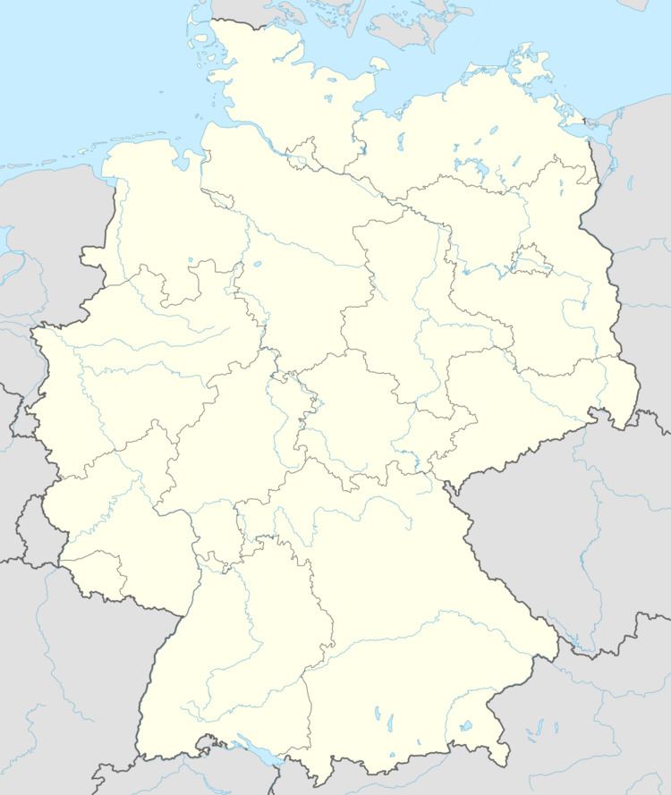
Niedertaufkirchen is a municipality in the district of Mühldorf in Bavaria in Germany.
Map of 84494 Niedertaufkirchen, Germany
References
Niedertaufkirchen Wikipedia(Text) CC BY-SA