
County Niagara FIPS code 36-51033 Elevation 190 m Population 8,378 (2010) Number of airports 1 | State New York Time zone Eastern (EST) (UTC-5) GNIS feature ID 0979275 Area 24.3 km² Local time Sunday 3:48 PM | |
 | ||
Weather 13°C, Wind E at 18 km/h, 65% Humidity University Cheryl Fells School of Business | ||
Niagara is a town in Niagara County, New York, United States. As of the 2010 census, the town had a total population of 8,378. The town is named after the famous waterfall Niagara Falls.
Contents
- Map of Niagara NY USA
- History
- Geography
- Adjacent cities and towns
- Major highways in the Town of Niagara
- Notable people
- Demographics
- Communities
- Economy
- Services
- References
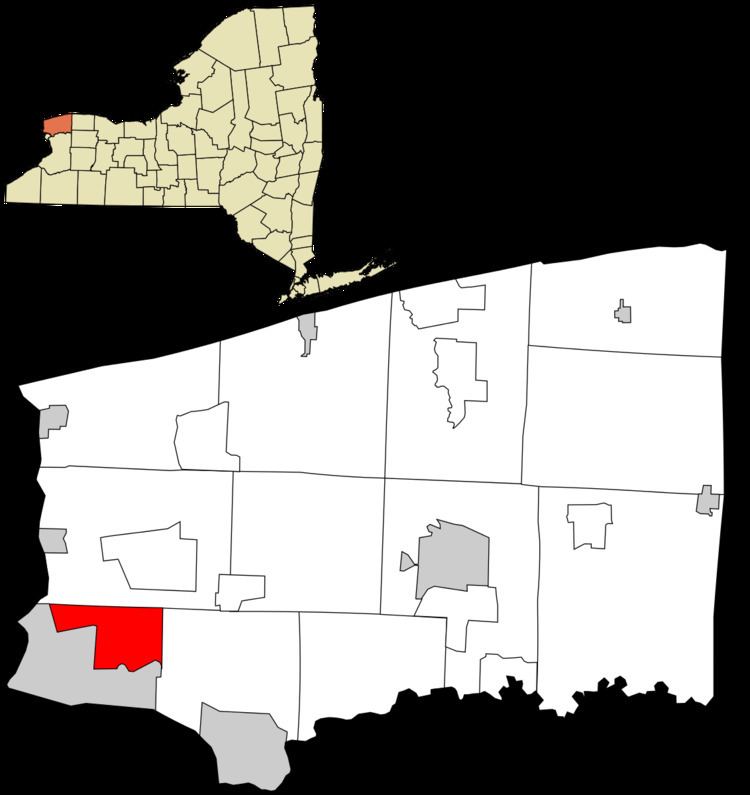
Map of Niagara, NY, USA
The Town of Niagara is the neighbor to the City of Niagara Falls, which is next to the famed Niagara Falls. The town is located in the southwest corner of the county. Since the late 20th century, it has been known for its factory-outlet mall (formerly Prime Outlet Niagara Falls), and is frequently visited by nearby Canadians based on the favorable currency exchange. Also located within the town is Niagara Falls International Airport, which serves the Niagara County area.
It is served by the LaSalle Post Office on Niagara Falls Boulevard (U.S. Route 62) in adjacent Niagara Falls, New York. Residents use a mailing address of "Niagara Falls, NY" because of this. Neither "Niagara, NY," nor "Town of Niagara, NY" are acceptable postal addresses, according to the United States Postal Service.
History
The Town of Niagara was founded in 1812 (originally as the "Town of Schlosser" after the local fortification Fort Schlosser and after Captain Joseph Schlosser, a German officer in the British Army) from the Town of Cambria. In 1836 western parts of the town were organized as the Town of Wheatfield, New York.
In 1892, the City of Niagara Falls was formed from the eastern end of town, taking about half of its land. In 1903, the city annexed another quarter of the town, reducing its size to 9.4 square miles. Its borders have remained the same since.
Geography
According to the United States Census Bureau, the town has a total area of 9.4 square miles (24 km2), all of it land.
Adjacent cities and towns
Major highways in the Town of Niagara
Notable people
Demographics
As of the census of 2000, there were 8,978 people, 3,611 households, and 2,480 families residing in the town. The population density was 955.8 people per square mile (369.2/km²). There were 3,879 housing units at an average density of 412.9 per square mile (159.5/km²). The racial makeup of the town was 92.99% White, 3.02% African American, 1.47% Native American, 0.56% Asian, 0.02% Pacific Islander, 0.22% from other races, and 1.72% from two or more races. Hispanic or Latino of any race were 1.17% of the population.
There were 3,611 households out of which 29.6% had children under the age of 18 living with them, 51.1% were married couples living together, 13.0% had a female householder with no husband present, and 31.3% were non-families. 26.1% of all households were made up of individuals and 9.9% had someone living alone who was 65 years of age or older. The average household size was 2.49 and the average family size was 2.99.
In the town, the population was spread out with 23.4% under the age of 18, 8.9% from 18 to 24, 28.0% from 25 to 44, 25.1% from 45 to 64, and 14.6% who were 65 years of age or older. The median age was 39 years. For every 100 females there were 95.1 males. For every 100 females age 18 and over, there were 92.3 males.
The median income for a household in the town was $37,327, and the median income for a family was $43,689. Males had a median income of $35,657 versus $25,358 for females. The per capita income for the town was $17,500. About 7.1% of families and 9.3% of the population were below the poverty line, including 14.6% of those under age 18 and 3.9% of those age 65 or over.
Communities
Economy
Major employers in Niagara are retail stores along major routes in town, including:
Services
Niagara Active Hose Company provides fire protection to Niagara from their fire hall on Lockport Road.