
Admin HQ (Chef-lieu) Niafunké Area 12,000 km² | Time zone GMT (UTC+0) Local time Sunday 7:21 PM | |
 | ||
Weather 37°C, Wind NE at 23 km/h, 7% Humidity | ||
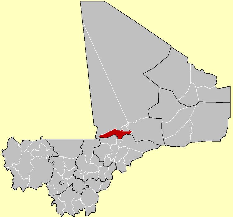
Niafunké Cercle is an administrative subdivision of the Tombouctou Region of Mali. The administrative center (chef-lieu) is the town of Niafunké. In the 2009 census the cercle had a population of 184,285. The Niger River runs for 100 km through the cercle.
Map of Niafunke, Mali
The cercle is subdivided into eight communes:
References
Niafunké Cercle Wikipedia(Text) CC BY-SA