
3-digit postal code prefix 630 Local time Sunday 6:23 PM | Time zone WAT (UTC+1) Area 916 km² | |
 | ||
Weather 38°C, Wind NE at 14 km/h, 10% Humidity | ||
Nguru (or N'Gourou) is a Local Government Area in Yobe State, Nigeria. Its headquarters are in the town of Nguru near the Hadejia River at 12°52′45″N 10°27′09″E.
Contents
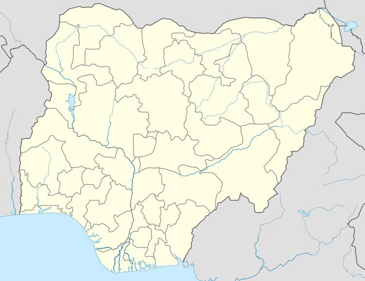
Map of Nguru, Nigeria
It has an area of 916 km² and a population of 150,632 at the 2006 census.
The postal code of the area is 630.
The town probably dates from around the 15th century. There is a variety of landscape types in the area, including the protected Hadejia-Nguru wetlands of Nguru Lake, and the "Sand Dunes", a semi-desert area.
Transport
Nguru is the terminus of the Western Railway of Nigeria.
References
Nguru, Nigeria Wikipedia(Text) CC BY-SA