
Country New Zealand Population 345 (2006) | Region West Coast Local time Monday 4:46 AM | |
 | ||
Weather 16°C, Wind E at 11 km/h, 97% Humidity | ||
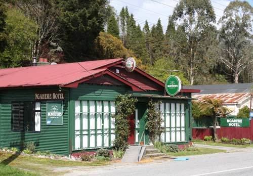
Ngahere is a locality in the Grey District of the West Coast of New Zealand's South Island. The 2006 New Zealand Census of Population and Dwellings gave the population of Ngahere and its surrounding area as 345, an increase of 9.5% or 30 people since the 2001 census.
Map of Ngahere 7872, New Zealand
Ngahere is located on the south bank of the Grey River, and State Highway 7 and the Stillwater - Westport Line (SWL) railway pass through the village. The railway reached Ngahere when an extension was built from Brunner on 1 August 1889, and it was the line's terminus until a further section to Ahaura was opened on 14 February 1890. On 1 August 1910, Ngahere became a railway junction when the Blackball Branch was opened, and this branch line operated until a flood in 1966 destroyed its bridge across the Grey River. The branch was formally closed on 21 February 1966. The next year, passenger trains through Ngahere on the SWL were cancelled; since this time, freight trains of coal have been the predominant traffic through Ngahere.