Country Vietnam Time zone UTC + 7 (UTC+7) Province Hau Giang Province | Region Mekong Delta Area 78.95 km² | |
 | ||
Weather 27°C, Wind E at 14 km/h, 84% Humidity | ||
Du l ch kh m ph th x ng b y h u giang vietnam discovery travel
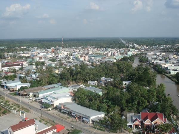
Ngã Bảy is a district-level town of Hậu Giang Province in the Mekong Delta region of Vietnam. It was originally part of Phụng Hiệp District. In 2005, it was split from Phụng Hiệp and named Tân Hiệp, but was met with objections from locals. In late 2006, it was renamed Ngã Bảy, after a popular market in the district. This town has a population of 61,024, area of 78.9493 square kilometers (2005). It is administratively subdivided into 3 phường (urban wards) (Ngã Bảy, Lái Hiếu, Hiệp Thành) and 3 xã (rural communes) (Hiệp Lợi, Đại Thành, Tân Thành).
Ngã Bảy is 30 km from Cần Thơ, 40 km from the provincial capital Vị Thanh, 30 km from the city of Sóc Trăng.
Ngã Bảy borders Sóc Trăng Province to the east, Phụng Hiệp to the west and south and Châu Thành District to the north.
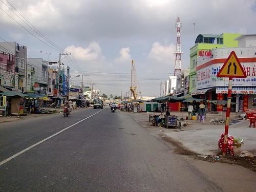
Ngã Bảy is more than 70 km from Vị Thanh by highway, but it is conveniently located for economica developments. It lies on National Road 1A and lies between the regional towns of Cần Thơ and Sóc Trăng.
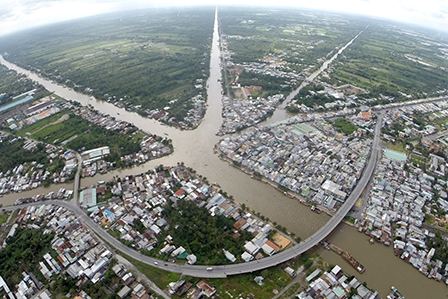
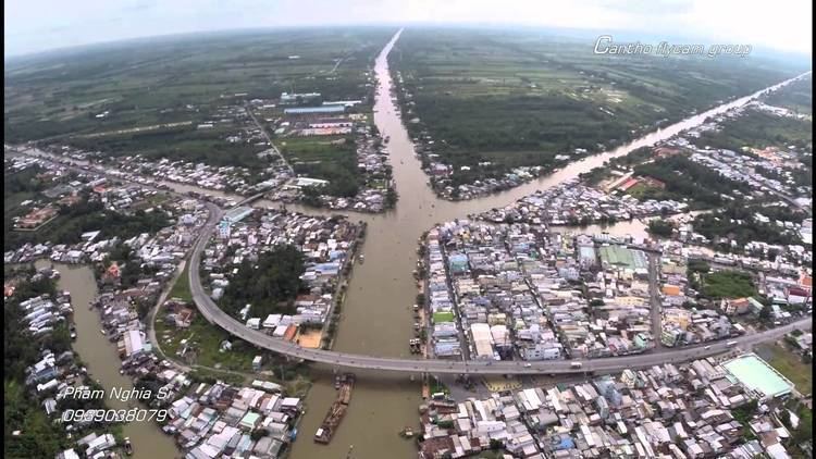
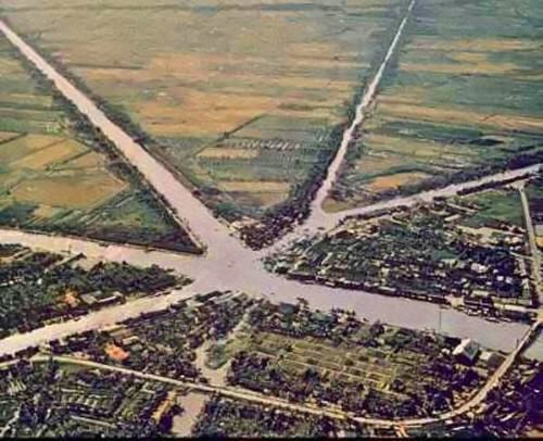
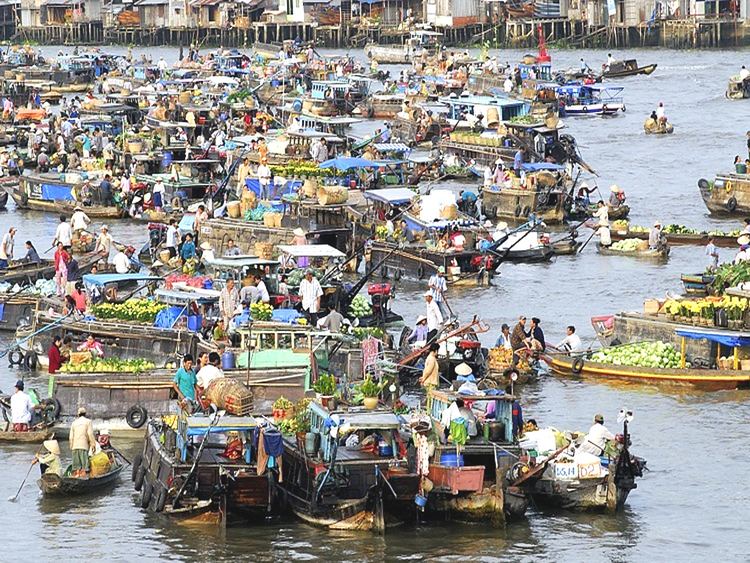
From 1915, Phụng Hiệp floating market was formed at the intersection of seven different rivers.
The town of Tân Hiệp was established by Government Decree 98/2005/ND-CP, issued on July 26, 2005, which divided the district of Phụng Hiệp into the new town of Tân Hiệp and Phụng Hiệp district. The new name came as a shock to the locals, who protested against it.