
OS grid reference SJ 98862 04852 Country England Post town Walsall Shire county Staffordshire Dialling code 01922 | Region West Midlands Sovereign state United Kingdom Postcode district WS6 District South Staffordshire UK parliament constituency South Staffordshire | |
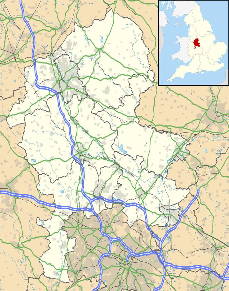 | ||
Newtown, Staffordshire is a small village in South Staffordshire, England. For population details as taken in the 2011 census see Essington
Map of Newtown, Walsall, UK
Newtown lies in between Great Wyrley (to the north) and Bloxwich (to the south), or more precisely, Landywood (to the north) and Bloxwich (to the south), forming part of the Staffordshire/West Midlands border. It lies on Walsall Road, the main route between Walsall and Cannock, which forms part of the A34.
References
Newtown, Staffordshire Wikipedia(Text) CC BY-SA