
OS grid reference SK686419 Post town NOTTINGHAM Dialling code 01949 | Sovereign state United Kingdom Postcode district NG13 Civil parish Shelford and Newton | |
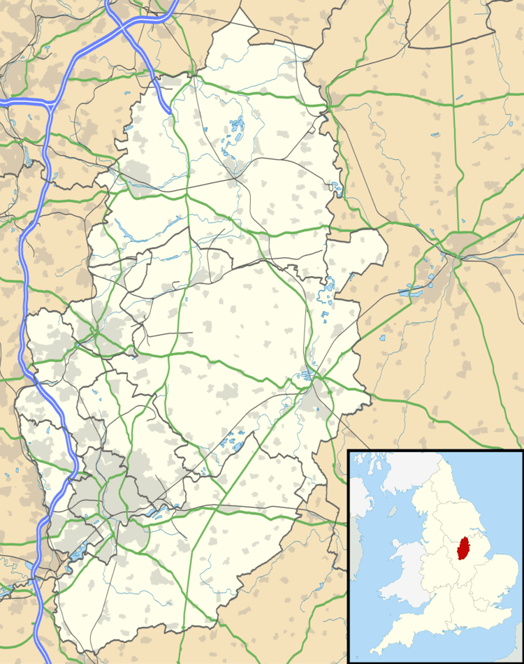 | ||
Newton is a hamlet in Nottinghamshire, England. It is located 1 mile (1.6 km) south-west of East Bridgford and about 1 mile (1.6 km) south-east of the River Trent, close to the junction of the A46 Fosse Way and the A6079. The population is included in the civil parish of Shelford and Newton.
Map of Newton, Nottingham, UK
RAF Newton is a disused airfield immediately to the south of Main Street. It opened in July 1940 and closed in 2000. The hangars and other buildings are now used by a number of businesses within the Newton Commercial Centre.
Newton Mill was a wooden post mill built before 1855. It ceased work c. 1920 and the buck was dismantled c. 1952. Some parts, including a stone neck bearing, were donated to the Science Museum in London. The brick roundhouse now belongs to the Crown.