
- summer (DST) EDT Local time Sunday 6:39 AM | Zip code 13416 Area code 315 | |
 | ||
Weather -1°C, Wind E at 18 km/h, 56% Humidity | ||
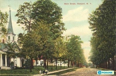
Newport is a town in Herkimer County, New York, United States. The population was 2,302 at the 2010 census.
Contents
- Map of Newport NY 13416 USA
- History
- Geography
- Demographics
- Communities and locations in the Town of Newport
- References
Map of Newport, NY 13416, USA
The Town of Newport, located on the western edge of the county, contains the village called Newport. The town is northeast of Utica, New York.
History
The first settlement took place after 1786. The town was formed in 1805 from parts of the Towns of Fairfield, Herkimer, Norway, and Schuyler.
Two structures in the Town of Newport are listed on the New York State Register of Historic Places and the National Register of Historic Places:
James Keith House AND Brown-Morey-Davis Farm
Geography
According to the United States Census Bureau, the town has a total area of 32.5 square miles (84.2 km²), of which, 32.0 square miles (83.0 km²) of it is land and 0.5 square miles (1.2 km²) of it (1.45%) is water.
The western town line is the border of Oneida County. The West Canada Creek flows through the town and partly defines the eastern boundary.
Demographics
As of the census of 2000, there were 2,192 people, 831 households, and 595 families residing in the town. The population density was 68.4 people per square mile (26.4/km²). There were 897 housing units at an average density of 28.0 per square mile (10.8/km²). The racial makeup of the town was 98.77% White, 0.41% Black or African American, 0.05% Asian, 0.23% from other races, and 0.55% from two or more races. Hispanic or Latino of any race were 0.82% of the population.
There were 831 households out of which 35.0% had children under the age of 18 living with them, 58.7% were married couples living together, 9.1% had a female householder with no husband present, and 28.3% were non-families. 23.7% of all households were made up of individuals and 11.1% had someone living alone who was 65 years of age or older. The average household size was 2.64 and the average family size was 3.11.
In the town, the population was spread out with 26.6% under the age of 18, 6.0% from 18 to 24, 28.6% from 25 to 44, 24.8% from 45 to 64, and 14.1% who were 65 years of age or older. The median age was 38 years. For every 100 females there were 89.9 males. For every 100 females age 18 and over, there were 93.0 males.
The median income for a household in the town was $37,300, and the median income for a family was $42,273. Males had a median income of $30,433 versus $25,391 for females. The per capita income for the town was $17,044. About 5.3% of families and 8.2% of the population were below the poverty line, including 14.1% of those under age 18 and 7.8% of those age 65 or over.