
Electoral ward Northern Ward Population 7,278 (2013) West Johnsonville East Wellington Harbour Northeast Horokiwi | Land area 682 ha (2.63 sq mi) Postcode(s) 6037 Postal code 6037 South Ngauranga | |
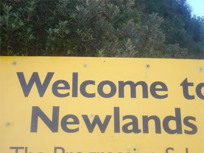 | ||
Newlands is one of the northern suburbs of Wellington, New Zealand. It lies approximately 8 km north of the city centre and to the east of its nearest neighbour Johnsonville. It has a long history of early settlement and originally was farmed including being the early source of Wellington's milk. Newlands is located in a valley and covers two ridgelines, the side of one of which overlooks Wellington Harbour and up to the Hutt Valley.
Contents
- Map of Newlands Wellington 6037 New Zealand
- History
- Facilities
- Community Centre
- Volunteer Fire Brigade
- Parks and reserves
- Transport
- School enrollment zones
- Secondary education
- Primary and intermediate education
- References
Map of Newlands, Wellington 6037, New Zealand
History
The area that modern Newlands occupies was originally known as Papararangi which is Te Reo Māori for "cluster of hills". A 40 ha area was sold during the 1840-41 land ballots run by the New Zealand Company. There are two theories to the suburb's name. The first is that it was named after Thomas Newland who arrived in New Zealand from London in 1875 aboard the ship “Avalanche” and ran a business making glue and oil in neighboring Johnsonville before becoming Manager of the Manure Department of the Wellington Meat Export Company's Works in 1892. Thomas Newland was close friends of Walter Futter who owned land in Newlands. The second theory is that it was simply the "New Land" near Johnsonville.
The area was mostly used as a pig and dairy farm, providing Wellington most of their milk supply until the 1950s.
Newlands was the location of the 1923 "Newlands Baby Farmers", where Daniel Cooper was found guilty and executed for murder, performing illegal abortions and baby farming.
Facilities
Newlands has recently (2013) had a revamped shopping centre with a new supermarket, and a new community centre. It is close to services and a mall located in its near neighbour Johnsonville.
Community Centre
The Newlands Community Centre was opened in 2009 and is home to a drop in centre, Newlands Toy Library and many community groups.
Volunteer Fire Brigade
Newlands Volunteer Fire Brigade was established in 1965 on Newlands Road and has 20 members and one appliance; a 2010 Iveco Eurocargo 6/1 light pumping appliance.
Parks and reserves
Newlands has a number of parks and reserves, including:
Transport
Newlands is served by buses to and from the city, run by Newlands Coach Services.
Newlands has good access to Lower Hutt, the main motorway north to the Kapiti Coast, and to Wellington's CBD.
School enrollment zones
Newlands is within the enrollment zones for Newlands College, Newlands School and St Oran's College.
Secondary education
Newlands College is a state coeducational secondary school located on Bracken Road in Newlands.
Primary and intermediate education
Newlands has three primary schools and one intermediate school: