
OS grid reference SE802290 Sovereign state United Kingdom Postcode district DN14 Dialling code 01430 Ceremonial county East Riding of Yorkshire | Country England Post town GOOLE Local time Sunday 10:02 AM Civil parish Eastrington UK parliament constituency Haltemprice and Howden | |
 | ||
Region Yorkshire and the Humber Weather 8°C, Wind N at 11 km/h, 83% Humidity | ||
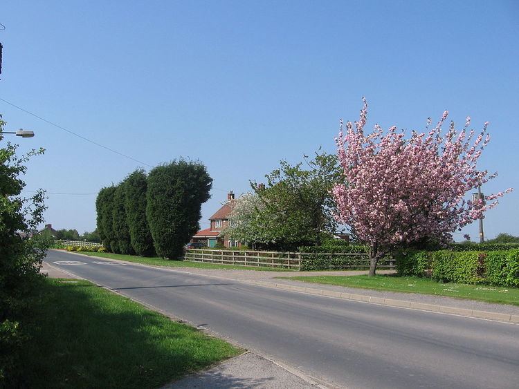
Newland is a hamlet in the East Riding of Yorkshire, England. It is situated approximately 3 miles (5 km) east of Howden and lies north of the B1230 road and it straddles the M62 motorway. It is served by Eastrington railway station on the Hull to York Line.
Map of Newland, Goole, UK
It forms part of the civil parish of Eastrington. Newland lies within the Parliamentary constituency of Haltemprice and Howden an area that mainly consists of middle class suburbs, towns and villages. The area is affluent and has one of the highest proportions of owner-occupiers in the country.
In 1823 Newland (then New Land), was in the parishes of Eastrington and Howden, and the Wapentake and Liberty of Howdenshire.
References
Newland, East Riding of Yorkshire Wikipedia(Text) CC BY-SA