
Country United States Elevation 222 m Local time Saturday 1:58 PM | State Indiana GNIS feature ID 0440115 Zip code 47161 | |
 | ||
Weather 24°C, Wind S at 29 km/h, 42% Humidity | ||
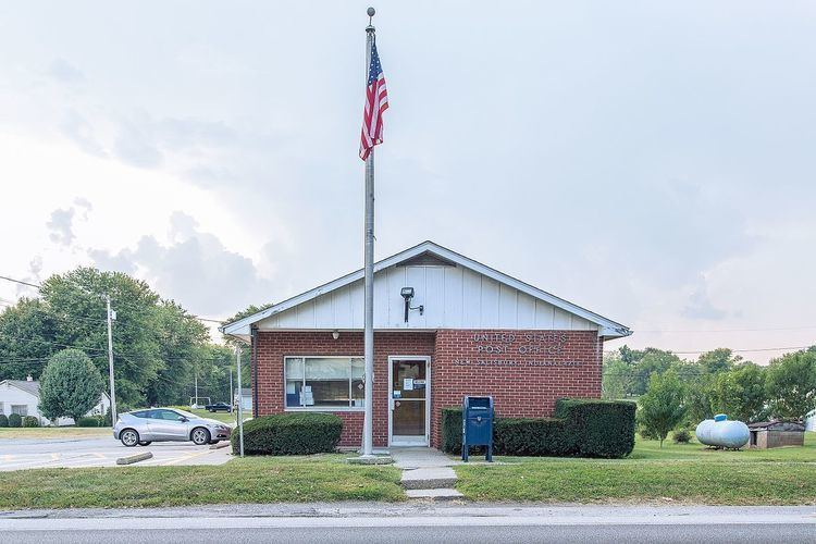
New Salisbury is an unincorporated census-designated place in Jackson Township, Harrison County, Indiana. The community is centered on the intersection of State Highway 135 and State Highway 64, about 8 miles north of Corydon.
Contents
Map of New Salisbury, IN 47161, USA
New Salisbury has many businesses and homes. Businesses include two gas stations, a grocery store, a drug store, a bank, a veterinarian's office, doctor offices, a transport company, and a manufacturing company among others. The area is within the North Harrison Community School Corporation.
The area has submitted to the State of Indiana to be incorporated. If approved New Salisbury would be the fourth largest town in Harrison County. Currently the area is governed by the Harrison County Government and represented by a council member on the County Council.
History
New Salisbury was platted in 1839 by John Kepley. It was renamed for Kepley's former hometown of Salisbury, North Carolina.
The town was sacked during Morgan's Raid by the main body of the Confederate Army as it advanced north to Salem where it camped the night of June 9, 1863.