
Built 1734 Address New Salem, MA 01355, USA Area 14 ha | NRHP Reference # 78000443 Opened 1734 Added to NRHP 12 April 1978 | |
 | ||
Similar Great Smoky Mountains, Great Smoky Mountain, Six Flags New England, Water Wizz, Salem Willows | ||
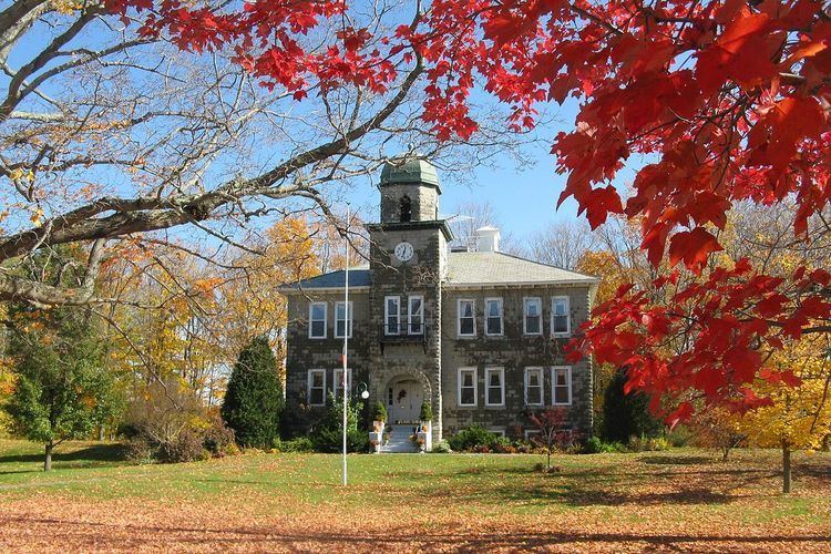
The New Salem Common Historic District encompasses the historic town center of New Salem, Massachusetts. It includes the town common, as well as properties along Soutn Main Street from Lovers Lane in the south to its junction with West Main Street, Wendell Road, and Millenium Road in the north. The area was originally laid out when the town was settled in 1737, which historically included the town animal pound, training ground for militia, churches, and other civic buildings. Most buildings in the district date to the 18th and 19th centuries.
The district was listed on the National Register of Historic Places in 1978.
References
New Salem Common Historic District Wikipedia(Text) CC BY-SA