
Country Philippines Founded June 18, 1968 Time zone PST (UTC+8) Province Compostela Valley | Region Davao (Region XI) Barangays Area 553.2 km² | |
 | ||
District 1st district of Compostela Valley | ||
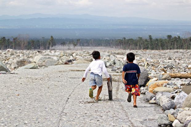
Inspection and distribution of relief goods in new bataan compostela valley 12 07 2012
New Bataan is a 1st class municipality in the province of Compostela Valley, Philippines. According to the 2015 census, it has a population of 47,726 people.
Contents
- Inspection and distribution of relief goods in new bataan compostela valley 12 07 2012
- Map of New Bataan Compostela Valley Philippines
- Geography
- Barangays
- Demographics
- Economy
- Transportation
- References
Map of New Bataan, Compostela Valley, Philippines
It is about 16 kilometres (9.9 mi) from Compostela, 40 kilometres (25 mi) from the provincial capital Nabunturan, and 75 kilometres (47 mi) from Tagum City. The municipality was founded on June 18, 1968, through Republic Act No. 4756. According to the 2015 census, it has a population of 47,726 people.
The town's festivals include Araw Celebration, held every 18 June; Founder's Day, held every 10 August; Sal’lupongan Festival, held every 13 June. Its patron saint is San Antonio de Padua.
The municipality was one of the hardest-hit towns of Typhoon Bopha when it hit the town on December 3, 2012.
Geography
New Bataan has a total land area of 55,315 hectares (136,690 acres) and situated north and west of Davao Oriental province; south of Municipality of Compostela and west of Municipality of Maragusan. It is surrounded with mountain ranges, and more than 50% of its territory is forest cover that has been the sources of living for some people living there. The barangays of New Bataan that are mostly covered with forest are Andap, Tandawan, Camanlangan, Manurigao. Manurigao is the most remote among the barangay because of the absence of a better road and transportation.
The municipality is also watered by various rivers. One of which is the Mayo River that flows from the mountain of Andap and empties into the Agusan River. The Batoto river is also one of the biggest, it flows from the eastern part of the area.
Land classification:
Barangays
New Bataan is politically divided into 16 barangays, further subdivided into 204 puroks.
Demographics
In the 2015 census, the population of New Bataan was 47,726 people, with a density of 86 inhabitants per square kilometre or 220 inhabitants per square mile.
Economy
Major crops:
Transportation
Road network (within the LGU territory):