
County Hamilton FIPS code 39-54082 Elevation 168 m Zip code 45030 | State Ohio Time zone Eastern (EST) (UTC-5) GNIS feature ID 1065109 Area 3.6 km² Population 661 (2010) | |
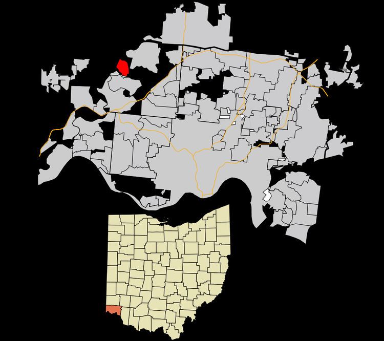 | ||
New Baltimore is a census-designated place (CDP) in Crosby Township, Hamilton County, Ohio. The population was 661 in the 2010 census.
Contents
Map of New Baltimore, OH 45030, USA
The village, about four miles east of New Haven. was laid out in 1819 by mill owner Samuel Pottinger. In July 1863, Morgan's Raiders of the Confederate Army used a ford at New Baltimore to cross the Miami River.
Geography
New Baltimore is situated at 39°15′53″N 84°40′2″W, 17 miles (27 km) northwest of downtown Cincinnati. It lies along the north bank of the Great Miami River.
The CDP has a total area of 1.4 square miles (3.6 km2), all land.
References
New Baltimore, Ohio Wikipedia(Text) CC BY-SA