
Country United States County Greene FIPS code 36-49935 Elevation 209 m Local time Saturday 1:09 AM Area code 518 | State New York Time zone Eastern (EST) (UTC-5) GNIS feature ID 0979255 Zip code 12124 Population 3,370 (2010) | |
 | ||
Weather 3°C, Wind SE at 2 km/h, 80% Humidity Area 111.6 km² (107.7 km² Land / 3.885 km² Water) | ||
New Baltimore is a town in Greene County, New York, United States. The population was 3,370 at the 2010 census. The town is in the northeast part of the county.
Contents
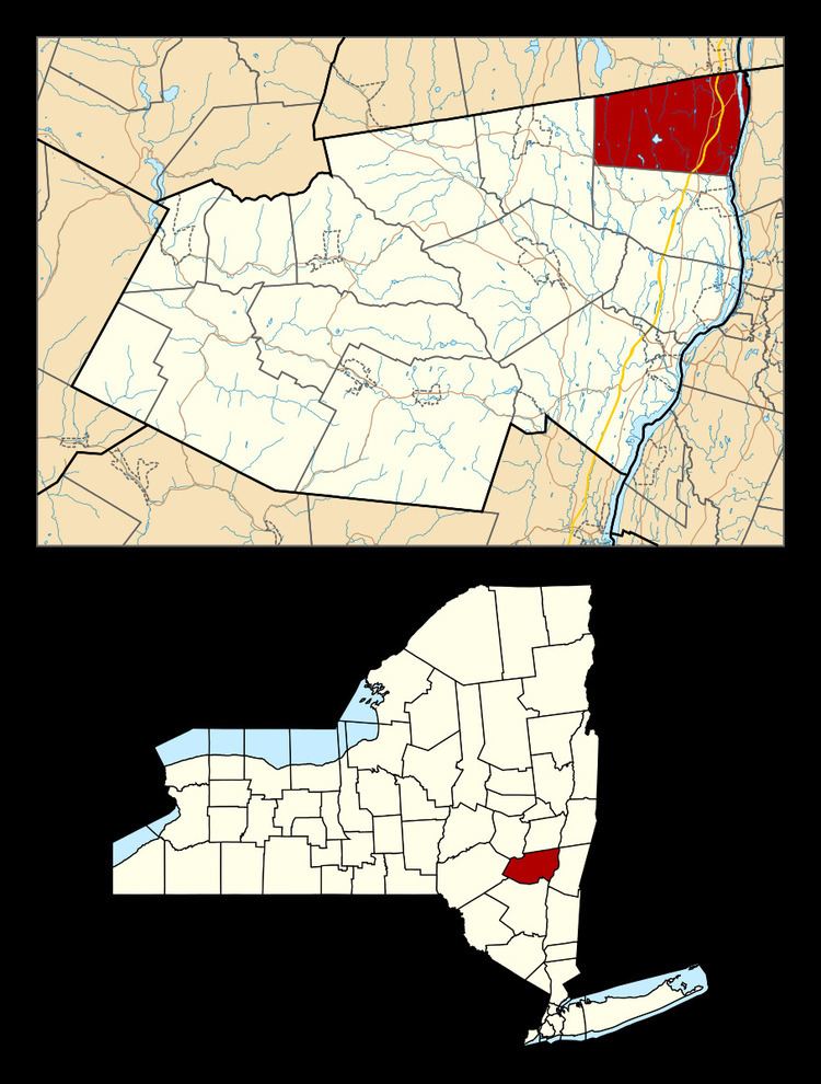
- Map of New Baltimore NY USA
- History
- Geography
- Demographics
- Communities and locations in New Baltimore
- References
Map of New Baltimore, NY, USA
History
The region was part of the Mahican homeland. The area was settled around 1700 and was included in early Dutch and English patents. New Baltimore was formed as a town in 1811 from the town of Coxsackie.
In 1900, the town population was 1,536.
Geography
According to the United States Census Bureau, the town has a total area of 43.1 square miles (112 km2), of which 41.6 square miles (108 km2) is land and 1.5 square miles (3.9 km2), or 3.55%, is water.
The east town line is defined by the Hudson River and is the border of Columbia County. The north town line is the border of Albany County.
The New York State Thruway (Interstate 87) and U.S. Route 9W pass through the town.
Demographics
As of the census of 2000, there were 3,417 people, 1,269 households, and 949 families residing in the town. The population density was 82.2 people per square mile (31.7/km²). There were 1,406 housing units at an average density of 33.8 per square mile (13.1/km²). The racial makeup of the town was 97.40% White, 0.70% African American, 0.12% Native American, 0.38% Asian, 0.03% Pacific Islander, 0.44% from other races, and 0.94% from two or more races. Hispanic or Latino of any race were 1.61% of the population.
There were 1,269 households out of which 32.2% had children under the age of 18 living with them, 62.6% were married couples living together, 7.5% had a female householder with no husband present, and 25.2% were non-families. 20.1% of all households were made up of individuals and 7.0% had someone living alone who was 65 years of age or older. The average household size was 2.62 and the average family size was 3.02.
In the town, the population was spread out with 24.2% under the age of 18, 5.6% from 18 to 24, 27.1% from 25 to 44, 29.6% from 45 to 64, and 13.4% who were 65 years of age or older. The median age was 41 years. For every 100 females there were 96.6 males. For every 100 females age 18 and over, there were 97.8 males.
The median income for a household in the town was $48,136, and the median income for a family was $50,175. Males had a median income of $36,681 versus $29,327 for females. The per capita income for the town was $20,636. About 5.3% of families and 7.2% of the population were below the poverty line, including 9.7% of those under age 18 and 10.9% of those age 65 or over.