
County Story FIPS code 19-55695 Elevation 305 m Population 6,776 (2013) Area code 515 | Time zone Central (CST) (UTC-6) GNIS feature ID 0459461 Zip code 50201 Local time Friday 8:47 PM | |
 | ||
Weather 6°C, Wind N at 26 km/h, 98% Humidity Area 13.16 km² (13.11 km² Land / 5 ha Water) | ||
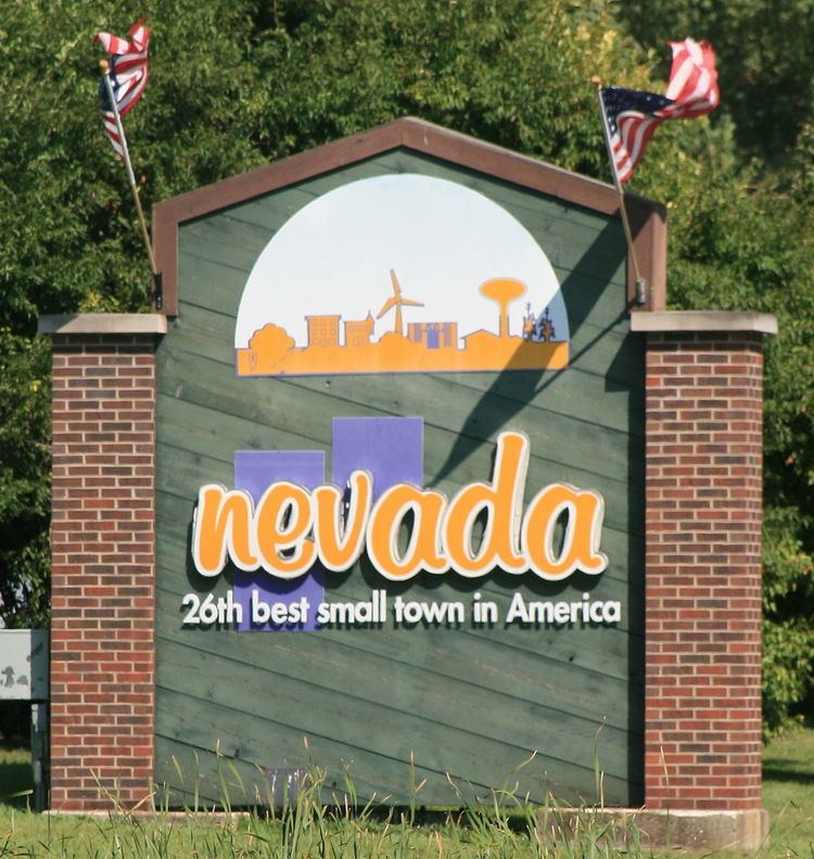
Nevada (/nəˈveɪdə/ nə-VAY-də) is a city in and the county seat of Story County, Iowa, United States. The population was 6,798 in the 2010 census, an increase from 6,658 in the 2000 census. It is also part of the Ames, Iowa Metropolitan Statistical Area, which is a part of the larger Ames-Boone, Iowa Combined Statistical Area. Eight miles west of Nevada is Ames (and Iowa State University) which is much larger in population. Nonetheless, Nevada is the county seat with all Story County offices located there. The city's name is pronounced differently from the state with the same name.
Contents
- Map of Nevada IA 50201 USA
- History
- Geography
- 2010 census
- 2000 census
- Media
- Transportation
- Notable people
- References
Map of Nevada, IA 50201, USA
History
Nevada was platted in 1853. It was named after the Sierra Nevada mountains. A post office has been in operation in Nevada since 1854.
Geography
Nevada's longitude and latitude coordinates in decimal form are 42.019152, -93.451775.
According to the United States Census Bureau, the city has a total area of 5.08 square miles (13.16 km2), of which, 5.06 square miles (13.11 km2) is land and 0.02 square miles (0.05 km2) is water.
2010 census
As of the census of 2010, there were 6,798 people, 2,761 households, and 1,811 families residing in the city. The population density was 1,343.5 inhabitants per square mile (518.7/km2). There were 2,990 housing units at an average density of 590.9 per square mile (228.1/km2). The racial makeup of the city was 94.3% White, 1.3% African American, 0.3% Native American, 1.0% Asian, 1.7% from other races, and 1.5% from two or more races. Hispanic or Latino of any race were 3.4% of the population.
There were 2,761 households of which 34.0% had children under the age of 18 living with them, 51.3% were married couples living together, 10.6% had a female householder with no husband present, 3.7% had a male householder with no wife present, and 34.4% were non-families. 29.6% of all households were made up of individuals and 10.5% had someone living alone who was 65 years of age or older. The average household size was 2.38 and the average family size was 2.94.
The median age in the city was 37.1 years. 25.3% of residents were under the age of 18; 7.6% were between the ages of 18 and 24; 27.1% were from 25 to 44; 26.1% were from 45 to 64; and 14% were 65 years of age or older. The gender makeup of the city was 48.6% male and 51.4% female.
2000 census
As of the census of 2000, there were 6,658 people, 2,716 households, and 1,787 families residing in the city. The population density was 1,594.7 people per square mile (615.0/km2). There were 2,882 housing units at an average density of 690.3 per square mile (266.2/km2). The racial makeup of the city was 96.97% White, 0.59% African American, 0.14% Native American, 0.66% Asian, 0.54% from other races, and 1.11% from two or more races. Hispanic or Latino of any race were 1.02% of the population.
There were 2,716 households out of which 33.07% had children under the age of 18 living with them, 53.5% were married couples living together, 9.2% had a female householder with no husband present, and 34.2% were non-families. 28.1% of all households were made up of individuals and 11.5% had someone living alone who was 65 years of age or older. The average household size was 2.38 and the average family size was 2.92.
Age spread: 24.9% under the age of 18, 9.8% from 18 to 24, 30.8% from 25 to 44, 20.3% from 45 to 64, and 14.2% who were 65 years of age or older. The median age was 35 years. For every 100 females there were 93.4 males. For every 100 females age 18 and over, there were 91.5 males.
The median income for a household in the city was $42,527, and the median income for a family was $48,700. Males had a median income of $32,635 versus $24,680 for females. The per capita income for the city was $20,392. About 3.9% of families and 5.6% of the population were below the poverty line, including 4.4% of those under age 18 and 3.2% of those age 65 or over.
Media
The Nevada Journal publishes a weekly newspaper which comes out on Thursday, and the "Story Today" released on Wednesday. The Nevada Journal provides in-depth coverage of local and regional issues as well as sports and is the official newspaper for the City of Nevada.
National news coverage is provided on a daily basis by the Des Moines Register and the Ames Tribune.
While Nevada has no broadcast stations of its own, it is well served from the Ames-Des Moines television and radio markets.
Transportation
Nevada is served by US Highway 30 which was known as the Lincoln Highway and Lincoln Way in town. It bisects Nevada north and south through the business district. A new US Highway 30 bypass was built in the 1970s to the south of the city and Lincoln Way through town was reduced to county road status. Iowa Highway 133 now connects the business district to the new US Highway 30 to the south. Nevada is also served well by a network of paved farm to market county roads.
Nevada was served by the Chicago and North Western Railroad. The Union Pacific Railroad now owns the line which crosses the city east to west north of the business district. Up until the mid-1980s, all railroad crossings except for a new one in the northwest section of town were protected by WRRS center harp style wigwag signals. Shortly thereafter, these signals were replaced with standard flashers and gates due to safety concerns and lack of available wigwag parts.
Nevada was also served by the Chicago, Rock Island and Pacific Railroad's "Spine Line" between Minneapolis, MN and Kansas City, MO. This north-south line jogged east-west through southern Nevada. It then veered north again and crossed under the C&NW mainline east of Nevada. An agency station was maintained until 1980 when the Rock Island went bankrupt and ceased to function.
The C&NW purchased the Rock Island "Spine Line" which offered better and more direct connections for Minneapolis and Kansas City. Since they did not directly interchange east of town, a new line was built from the Chicago and Northwestern Railroad east-west main line on the west side of Nevada to connect with the former Rock Island "Spine Line on the southwest side of Nevada. The junction on the Spine Line was referred to as "Chicago Junction" while the junction on the Chicago and Northwestern Railroad east-west mainline was referred to as "Kansas City Junction". This new line necessitated the building of an overpass for the old Lincoln Highway on the west side of Nevada.
The Union Pacific Railroad purchased the Chicago and North Western Railroad in 1995. Rail traffic on both the east-west mainline and the "Spine Line" along with interchange traffic has increased considerably in the years since the purchase.