
District Westerwaldkreis Elevation 320 m (1,050 ft) Area 6.61 km² Population 576 (31 Dec 2008) Dialling code 06436 | Time zone CET/CEST (UTC+1/+2) Local time Friday 10:54 PM Postal code 56479 | |
 | ||
Weather 6°C, Wind NE at 18 km/h, 74% Humidity | ||
Neunkirchen is an Ortsgemeinde – a community belonging to a Verbandsgemeinde – in the Westerwaldkreis in Rhineland-Palatinate, Germany.
Contents
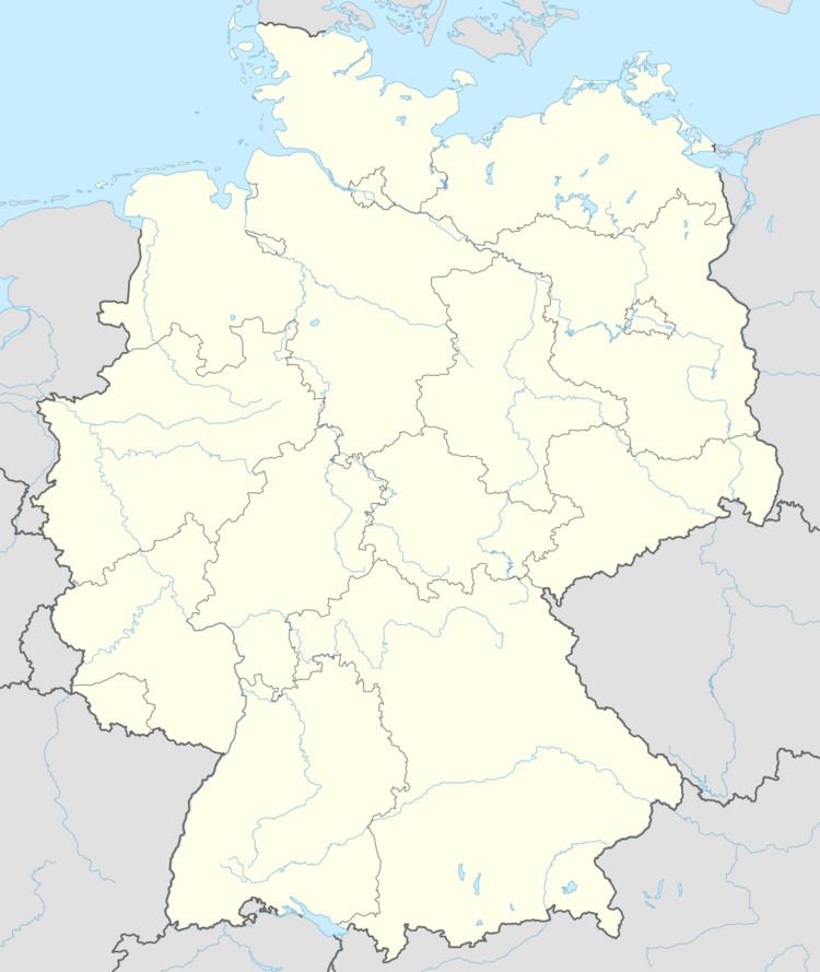
Map of 56479 Neunkirchen, Germany
Location
The community lies in the Westerwald between the towns of Siegen (38 km to the north), Wetzlar (28 km to the east) and Limburg an der Lahn (19 km to the south). Neunkirchen is the southernmost place belonging to the Verbandsgemeinde of Rennerod – a kind of collective municipality – whose seat is in the like-named town.
References
Neunkirchen, Westerwaldkreis Wikipedia(Text) CC BY-SA