
Country United States Time zone CST (UTC-6) Elevation 186 m Population 503 (2010) | Established November 6, 1849 ZIP codes 60450, 60541, 61360 Area 92.7 km² Local time Friday 2:24 PM | |
 | ||
Weather 27°C, Wind SW at 45 km/h, 29% Humidity | ||
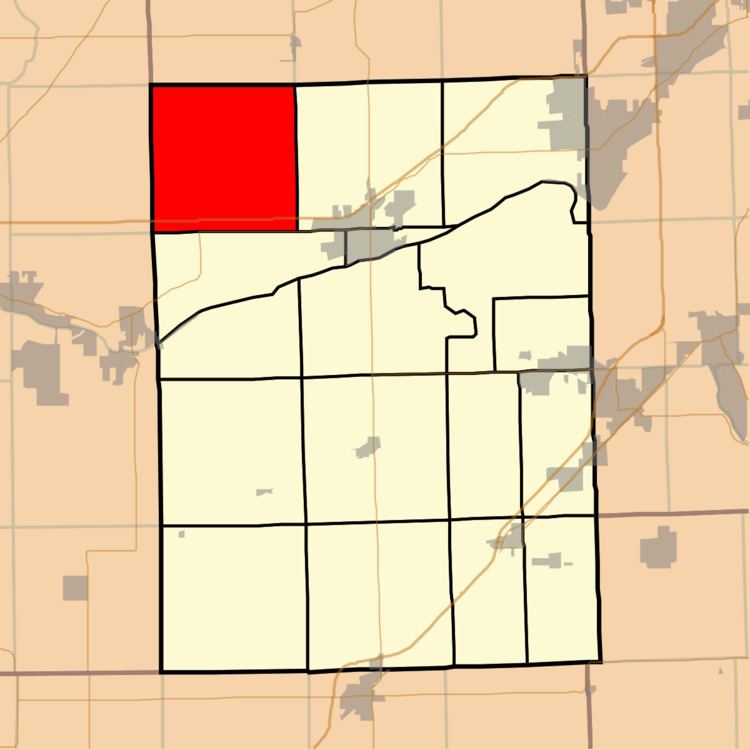
Nettle Creek Township (T34N R6E) is one of seventeen townships in Grundy County, Illinois, USA. As of the 2010 census, its population was 503 and it contained 187 housing units.
Contents
- Map of Nettle Creek Township IL USA
- Geography
- Unincorporated towns
- Cemeteries
- Major highways
- Political districts
- References
Map of Nettle Creek Township, IL, USA
Geography
According to the 2010 census, the township has a total area of 35.79 square miles (92.7 km2), of which 35.76 square miles (92.6 km2) (or 99.92%) is land and 0.03 square miles (0.078 km2) (or 0.08%) is water.
Unincorporated towns
(This list is based on USGS data and may include former settlements.)
Cemeteries
The township contains Holderman and Hoge Cemetery.
Major highways
Political districts
References
Nettle Creek Township, Grundy County, Illinois Wikipedia(Text) CC BY-SA