
OS grid reference SU4198 Post town Abingdon Local time Friday 6:44 PM | Sovereign state United Kingdom Postcode district OX13 Dialling code 01865 | |
 | ||
Weather 11°C, Wind NE at 18 km/h, 69% Humidity | ||
Netherton is a hamlet in Fyfield and Tubney civil parish about 4.5 miles (7 km) west of Abingdon. It was part of Berkshire until the 1974 boundary changes transferred it to Oxfordshire.
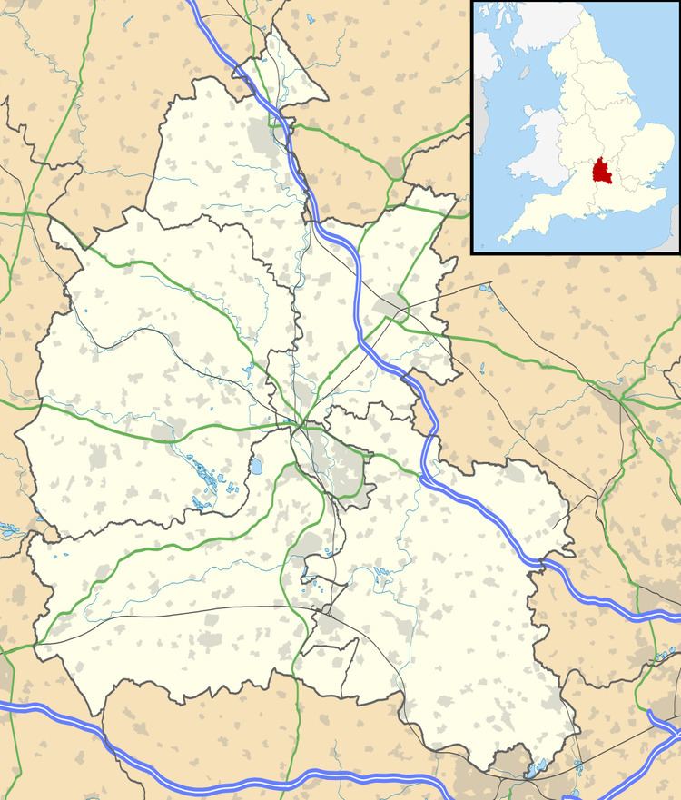
Map of Netherton, Abingdon, UK
The toponym is derived from the Old English neotherra meaning "lower, nether" and dun meaning "hill". It was recorded as Netendon in 1193.
Netherton is primarily residential. Netherton is linked with Oxford by Whites Coaches route 63 bus that runs on Tuesdays, Wednesdays, Fridays and Saturdays.
References
Netherton, Oxfordshire Wikipedia(Text) CC BY-SA