Postcode(s) 4756 Postal code 4756 | ||
 | ||
Netherdale is a locality in the Mackay Region, Queensland, Australia.
Contents
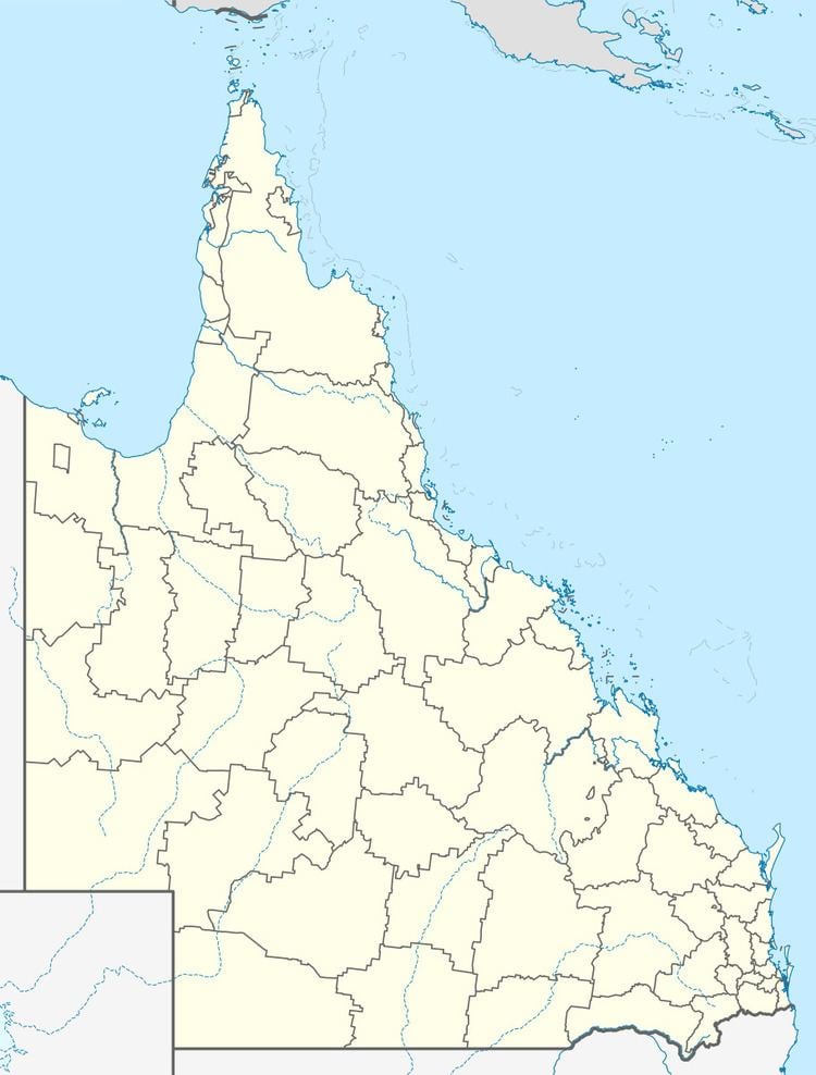
Map of Netherdale QLD 4756, Australia
Geography
Netherdale is the most western locality of the Pioneer Valley. The river does not pass through Netherdale but Netherdale is within its drainage basin. The Mackay-Eungella Road passes from the east to the west through the locality after which it climbs the Clarke Range to Eungella.
The north and south of the locality are mountainous (part of the Clarke Range) and rise to 890 metres and 670 metres respectively. Between them lie the "valley" through which the road runs at an elevation of 140 metres (in the east) to 180 metres (in the west). The land use in the valley is a mixture of sugar cane and grazing like most of the Pioneer Valley. There is no development of the mountainous north and south of the locality.
History
The Mackay Railway was extended from Finch Hatton to Netherdale in 1911. It was closed in 1977 as part of the overall closure of the Mackay Railway.
The Netheral State School opened on 24 January 1914, having been originally proposed to be called the Eungella Range State School. It closed on 31 December 1963.
Netherdale was within the Shire of Mirani until the shire was amalgamated into the Mackay Region in 2008.
