
Population 1,314 Sovereign state United Kingdom | OS grid reference SY470993 Post town BRIDPORT Local time Friday 5:14 PM | |
 | ||
Weather 11°C, Wind NE at 27 km/h, 76% Humidity | ||
Netherbury is a village and civil parish in the English county of Dorset. It lies within the West Dorset administrative district and is sited by the small River Brit, 1.5 miles (2.4 km) south of Beaminster and 4 miles (6.4 km) north of Bridport. The A3066 road connecting those towns lies 0.5 miles to the east. In the 2011 census the parish—which includes the small settlements of Melplash, North Bowood, South Bowood, Salway Ash, Wooth and Mangerton—had a population of 1,314.
Map of Netherbury, Bridport, UK
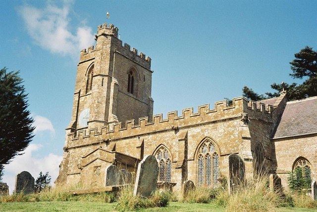
In addition to domestic buildings, Netherbury village comprises a church, a village hall, and a play park. The church has a Norman font, a 15th-century altar tomb and a 16th-century pulpit. On the hills surrounding the village are examples of strip lynchets.
The valley of the River Brit used to contain several mills which processed the flax for use in the rope-making industry at Bridport. In Netherbury the river is crossed by a 17th-century bridge which has three arches which are all dissimilar; the large round eastern arch is constructed for the millrace. The novelist Mary Anna Needell lived here with her family in the 1880s.
Netherbury is within an electoral ward that bears its name and stretches south to the edge of Bridport. The population of this ward was 2,080 in the 2011 census.