
Population Uninhabited | ||
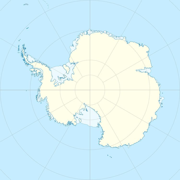 | ||
Nesholmen Island is a small island lying 0.93 kilometres (0.5 nmi) off Djupvikneset Peninsula in southern Lützow-Holm Bay. Mapped by Norwegian cartographers from air photos taken by the Lars Christensen Expedition, 1936–37, and named Nesholmen (the ness islet) because of its proximity to Djupvikneset Peninsula.
References
Nesholmen Island Wikipedia(Text) CC BY-SA