
Location Antarctica | Population Uninhabited | |
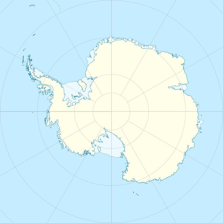 | ||
Nesøya is an island, 0.93 kilometres (0.5 nmi) long, lying close off the north point of East Ongul Island and near Antenna Island in the east side of the entrance of Lutzow-Holm Bay. It was mapped by Norwegian cartographers from air photos taken by the Lars Christensen Expedition, 1936–37, and named Nesøya (the point island).
References
Nesøya (Antarctica) Wikipedia(Text) CC BY-SA