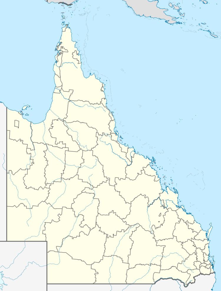
Population 265 (2011 census) Nerimbera Nankin | Postcode(s) 4701 Postal code 4701 | |
 | ||
Location 12 km (7 mi) E of Rockhampton44 km (27 mi) SW of Yeppoon647 km (402 mi) NNW of Brisbane | ||
Nerimbera is a locality in the Shire of Livingstone, Queensland, Australia. In the 2011 census, Nerimbera had a population of 265 people.
Contents
Map of Nerimbera QLD 4701, Australia
Geography
The northern part of Nerimbera comprises the Black Creek valley running up into the Berserker Range; this land is mountainous and undeveloped.
The southern part of Nerimbera is bounded to the west by the Fitzroy River and is mostly flatter land (apart from some mountain spurs). Most of the land use in Nerimbera occurs in these low-lying flatter areas and is mostly used for grazing.
Economy
Employing more than 500 staff, the JBS Meat Processing facility on St Christopher's Chapel Road has a daily processing capacity of 696 cattle. Holcim Australia operate an aggregate quarry at Arnold Drive.
Heritage listings
Nerimbera has the following heritage listings:
