
Country United States County Rush ZIP codes 67559 | State Kansas Time zone Central (CST) (UTC-6) Local time Thursday 11:10 AM | |
 | ||
Weather 17°C, Wind S at 39 km/h, 79% Humidity | ||
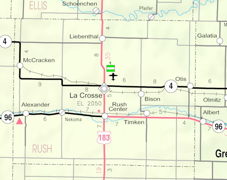
Nekoma is an unincorporated community in southwestern Rush County, Kansas, United States. It lies along K-96 southwest of the city of La Crosse, the county seat of Rush County. Its elevation is 2,037 feet (621 m), and it is located at 38°28′25″N 99°26′31″W (38.4736250, -99.4420547). Although it is unincorporated, it has a post office, with the ZIP code of 67559.
Contents
Map of Nekoma, KS 67559, USA
History
Nekoma was platted in 1884 by the railroad. The first post office in Nekoma was established in 1890.
References
Nekoma, Kansas Wikipedia(Text) CC BY-SA