
Country United States GNIS feature ID 0766355 Area 155.1 km² Population 1,259 (2000) | FIPS code 29-51392 Elevation 92 m Local time Thursday 6:34 AM | |
 | ||
Weather 7°C, Wind NE at 10 km/h, 68% Humidity | ||
Neely Township is one of ten townships in Butler County, Missouri, USA. As of the 2000 census, its population was 1,259.
Contents
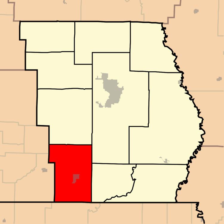
Map of Neely Township, MO, USA
Neely Township was organized in 1871, and named after Obadiah Neely, an early citizen.
Geography
Neely Township covers an area of 59.9 square miles (155 km2) and contains one incorporated settlement, Neelyville. It contains seven cemeteries: Crab, Harris Ridge, Lutz, Neeleyville, Roberts, Sheely and Sims.
The streams of Big Cane Creek, Cane Creek, Cope Branch, Fox Branch and Gaines Slough run through this township.
Transportation
Neely Township contains one airport or landing strip: Wattle Landing Strip.
References
Neely Township, Butler County, Missouri Wikipedia(Text) CC BY-SA