
Area 119 km² | Region Western Norway | |
 | ||
Weather 4°C, Wind S at 6 km/h, 62% Humidity | ||
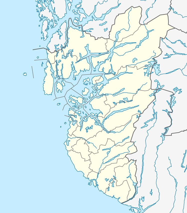
Nedstrand is a former municipality in Rogaland county, Norway. The 119-square-kilometre (46 sq mi) municipality was located along the Nedstrandfjorden, an inner branch off the main Boknafjorden. The municipality encompassed the majority of the Nedstrand peninsula. Originally (from 1838-1868) it also included the Sjernarøyane islands and the western part of the island of Ombo in the fjord to the south. The administrative centre of the municipality was the village of Nedstrand. Nedstrand Church is located in Hindaråvåg, a small village just west of Nedstrand village. Today, the area is part of the large municipality of Tysvær.
History
The parish of Nærstrand was established as a municipality on 1 January 1838 (see formannskapsdistrikt). Originally, it encompassed the two sokn (districts) of Hinderaa and Sjærnerø, located on the northern (mainland) part of the municipality and the southern (islands) in the Nedstrandfjorden, respectively. On 1 January 1868, the municipality was divided into two separate municipalities, named after the two sokn that made up Nærstrand: Hinderaa (population: 1,680) and Sjærnerø (population: 922). On 10 August 1881 the name of Hinderaa municipality was changed by royal resolution to Nerstrand. Later, between 1910 and 1920 the spelling was changed slightly to Nedstrand to better match the local pronunciation. On 1 January 1965, the municipality of Nedstrand (population: 1,200) was merged with the neighboring municipality of Tysvær and parts of the municipalities of Avaldsnes, Skjold, Vats, and Vikedal. The new municipality was named Tysvær.