Rahul Sharma (Editor)

National Route 1A (Vietnam)

Updated on
Edit
Like
Comment
Share on FacebookTweet on TwitterShare on LinkedInShare on Reddit
Length
  
2,301 km

National Route 1A (Vietnam)

Existed:
  
Early 20th century – present

North end:
  
G7211 at Friendship Pass, Lạng Sơn Province

South end:
  
Năm Căn, Năm Căn District, Cà Mau Province

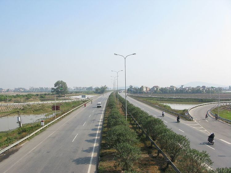
National Route 1A (Vietnamese: Quốc lộ 1A (or abbrv. QL1A) or Đường 1) is the trans-Vietnam highway. The route begins at km 0 at Huu Nghi Quan Border Gate (cửa khẩu Hữu Nghị Quan) near the China-Vietnam border. The route ends at (km 2301 + 340 m) at Năm Căn township in Cà Mau Province.

Contents

Map of QL1A, Vietnam

Road layout

National Route 1A runs across provinces and cities of Vietnam:

  • Lạng Sơn (km 16)
  • Bắc Giang (km 119)
  • Bắc Ninh (km 139)
  • City of Hanoi (the capital) (km 170)
  • Phủ Lý (km 229, tỉnh Hà Nam)
  • Ninh Bình (km 263)
  • Thanh Hóa (km 323)
  • Vinh (km 461, Nghệ An)
  • Hà Tĩnh (km 510)
  • Đồng Hới (km 658, province of Quảng Bình)
  • Đông Hà (km 750, province of Quảng Trị)
  • City of Huế (km 824, province of Thừa Thiên–Huế)
  • City of Da Nang (km 929)
  • Tam Kỳ (km 991, province of Quảng Nam)
  • Quảng Ngãi (km 1054)
  • via 1D: Quy Nhơn (km 1232, province of Bình Định)
  • Tuy Hòa (km 1329, province of Phú Yên)
  • via 1C: Nha Trang (km 1450, province of Khánh Hòa)
  • Phan Rang–Tháp Chàm (km 1528, province of Ninh Thuận)
  • Phan Thiết (km 1701, province of Bình Thuận)
  • Biên Hòa (km 1867, province of Đồng Nai)
  • Ho Chi Minh City (Saigon) (km 1889)
  • Tân An (km 1936, province of Long An)
  • Mỹ Tho (km 1959, province of Tiền Giang)
  • Vĩnh Long (km 2024)
  • Cần Thơ City (km 2058)
  • Hậu Giang Province
  • Sóc Trăng (km 2119, province of Sóc Trăng)
  • Bạc Liêu (km 2176)
  • Cà Mau (km 2236, province of Cà Mau)
  • Specifications

  • Total length 2,300.45 km
  • Road width: 10–12 m
  • Road surface: paved with asphalt
  • Total bridges: 874 bridges, bridge load varies from 25 to 30 metric tonnes
  • History

    The National Route 1A was constructed by the French colonists in early 20th century. It has been upgraded recently by Japanese ODA as well as loans from World Bank. During both the First Indochina War and Second Indochina War (the Vietnam War), Road 1A was the site of a number of battles between Vietnamese forces and French or American troops. One of the most notable engagements was the French Operation Camargue in 1953.

    References

    National Route 1A (Vietnam) Wikipedia