
 | ||
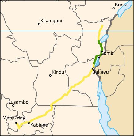
National Road No. 2 is an 863-km road in the Democratic Republic of the Congo. It runs from the eastern city of Goma, which lies on the northern shore of Lake Kivu across the border from the Rwandan city of Gisenyi, around the western shore of Lake Kivu via Katana towards Bukavu. At Kavumu there is a junction with the southern spur to Bukavu, but National Road 2 turns north-west and runs 400 km to Lubutu and then 240 km to the river port of Kisangani, which is the farthest navigable point on the Congo River from the capital Kinshasa. Riverboats and small ships link Kisangani to Kinshasa.
National Road No. 2 is thus a key component of the national transportation infrastructure. Before 2000 the road had been paved except for the section running down the western shore of Lake Kivu, and for two sections adding up to about 160 km either side of Walikale (see below).
The road had deteriorated over the course of the First and Second Congo Wars and became impassable on the unpaved sections. The road is being rebuilt by the German NGO Agro Action Allemande (Deutsche Welthungerhilfe e.V.), which began work in 2000, and was about a quarter complete by June 2006, and about 550 km were completed by 2010.
At Walikale, Google Earth has aerial photographs of sufficient resolution to show that the road was not in use south-east of the town, at the time the photos were taken it was the farthest point which could be reached from Kisangani.