
Length 134 km | ||
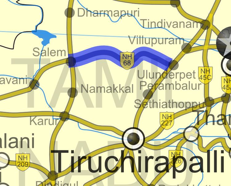 | ||
Primarydestinations: Ulundrupet - Kallakkurichchi - Chinnasalem - Attur - Pethanaickenpalayam - Vazhapadi - [[Salem, Tamil Nadu|Salem]) | ||
National Highway 79 (NH 79) is a National Highway in India entirely within the state of Tamil Nadu. It runs between Ulundurpettai and Salem in the Indian state of Tamil Nadu for a total of 134 km (83 mi). It connects with NH 44 and NH 544 at Salem. NH 79 connects NH 68 and SH 69 at Ulundurpettai. It was upgraded to a dual carriageway road in two phases on a Build-operate-transfer basis by Reliance Infrastructure and Maytas.
Contents
Map of NH79, Tamil Nadu
Traffic
NH 79is an important connecting road for vehicles travelling from the two major cities Coimbatore and Kochi. NH 79 connects Salem, in directly Coimbatore, Erode, Tirupur and the cities around these areas with Chennai.
Route
Ulundurpettai - Elavanasur - ThiyagaDurgam - Kallakurichi - Chinnasalem, Thalaivasal - Kattukottai - Attur - Pethanaickenpalayam - Vazhapadi - Salem