From: Mayabandar States: Andaman & Nicobar | To: Chiriyatapu Length 230 km | |
 | ||
For old National Highway 4,refer to National Highway 48 (India).
Map of NH4, Andaman and Nicobar Islands
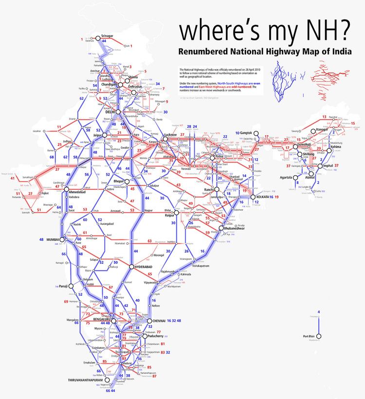
National Highway 4 (NH 4) is a national highway in India. It runs entirely in the island state of Andaman and Nicobar. It originates at Mayabandar and traverse through Port Blair to reach Chiriyatapu.
A stretch of national highway from Bombay to Pune to Hubli to Bangalore to Chennai was earlier called NH 4 before renumbering of national highways in year 2010. The former NH 4 is now renumbered as NH 48.
References
National Highway 4 (India) Wikipedia(Text) CC BY-SA
