
OS grid reference NY774067 Sovereign state United Kingdom Local time Tuesday 6:42 AM Dialling code 01768 | Civil parish Nateby Post town KIRKBY STEPHEN Population 120 (2011) UK parliament constituency Penrith and The Border | |
 | ||
Weather 2°C, Wind SW at 37 km/h, 75% Humidity | ||
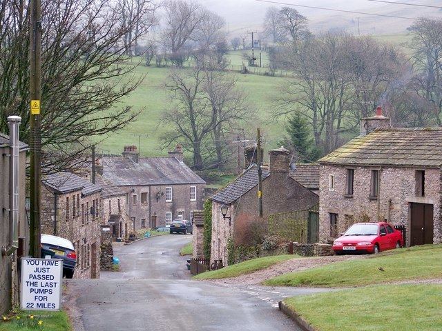
Nateby is a village and civil parish in the Eden district of Cumbria, England. The village is situated about 1.5 miles (2 km) south of Kirkby Stephen and 15 miles (24 km) north west of Hawes. Historically part of Westmorland, it lies 3 miles from the borders of the Yorkshire Dales and North Yorkshire. Nearby are the Nine Standards Rigg hills. The village contains a popular country pub, The Black Bull Inn, a garage/petrol station and a small metal-yard.
Map of Nateby, Kirkby Stephen, UK
A little over half a mile to the south-west, Wharton Hall, Wharton is a medieval fortified manor house, partly ruined and partly in use as a farmhouse.
References
Nateby, Cumbria Wikipedia(Text) CC BY-SA