
 | ||
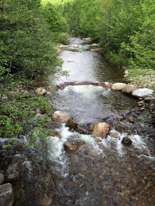
Nash Stream is a 15.3-mile-long (24.6 km) river in northern New Hampshire in the United States. It is a tributary of the Upper Ammonoosuc River and part of the Connecticut River watershed.
Map of Nash Stream, Stratford, NH, USA
Nash Stream rises on the western slopes of Whitcomb Mountain in the township of Odell, New Hampshire, and flows south-southwest through the town of Stratford to join the Upper Ammonoosuc River in the town of Stark. Near its headwaters, it passes through Nash Bog Pond, an extensive marshy area which used to be a large pond closed by a dam. The dam washed out in the 1960s. Nearly the entire stream is within the boundaries of the Nash Stream Forest, owned by the state of New Hampshire.
The Nash Stream watershed is surrounded by mountains. The most commonly hiked are North and South Percy Peaks, barren summits offering extensive views reached by a trail, and Sugarloaf, reached by a trail which formerly gave access to a fire tower.