
- elevation 410 m (1,345 ft) Basin area 59,100 km² Mouth Syr Darya Countries Kyrgyzstan, Uzbekistan | Length 807 km Discharge 429 m³/s Cities Naryn, Naryn Region | |
 | ||
- left At-Bashi River, Alabuga River - right On Archa River, Kara-Suu River, Jumgal River, Kökömeren River - location near Namangan, Uzbekistan - average 429 m/s (15,150 cu ft/s) | ||
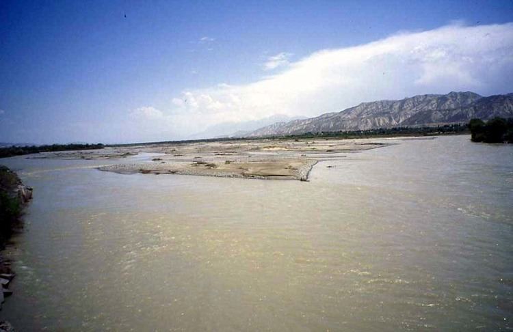
The Naryn River (Kyrgyz: Нарын, Russian: Нарын, Uzbek: Norin) rises in the Tian Shan mountains in Kyrgyzstan, Central Asia, flowing west through the Fergana Valley into Uzbekistan. Here it merges with the Kara Darya River (near Namangan) to form the Syr Darya. It is 807 kilometres (501 mi) long (together with Chong-Naryn River) and has an annual flow of 13.7 cubic kilometres (11,100,000 acre·ft).
Map of %D0%9D%D0%B0%D1%80%D1%8B%D0%BD
The largest tributaries of the Naryn River are: Kichi-Naryn River, At-Bashi River, On Archa River, Kadjyrty River, Chychkan River, Alabuga River, Kökömeren River etc.
The river contains many reservoirs which are important in the generation of hydroelectricity. The largest of these is the Toktogul Reservoir in Kyrgyzstan containing 19.9 cubic kilometres (16,100,000 acre·ft) of water. Dams downstream of the Toktogul in Kyrgyzstan include: Kurpsai, Tash-Kumyr, Shamaldysai and Uch-Kurgansk. Upstream of Toktogul in Kyrgyzstan is the Kambarata-2 and At-Bashi Dams while the Kambarata-1 and Kambarata-3 are in planning stages.
Some places along the river: Kyrgyzstan: Kara-Say (see Barskoon), Naryn Region, Naryn, Dostuk, Jalal-Abad Region, Kazarman, Toktogul Reservoir, Kara-Köl, Tash-Kumyr.