Time zone IST (UTC+5:30) Elevation 434 m Local time Tuesday 3:31 AM | Founded by narayan rao Vehicle registration MP-14 Population 10,079 (2001) ISO 3166 code ISO 3166-2:IN | |
 | ||
Weather 21°C, Wind SE at 3 km/h, 40% Humidity | ||
Narayangarh, divided into old Narayangarh and New Narayangarh, is a town and a nagar panchayat in Mandsaur district in the Indian state of Madhya Pradesh.
Contents
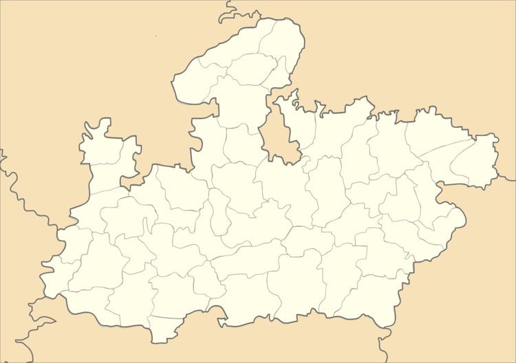
Map of Narayangarh, Madhya Pradesh 458553
Geography
It has an average elevation of 434 metres (1423 feet).
Demographics
As of 2001 India census, Narayangarh had a population of 12,419. Males constitute 51% of the population and females 49%. Thirteen percent of the population is under age 6. Narayangarh has an average literacy rate of 70%, higher than the national average of 59.5%. Male literacy is 80%, and female literacy is 60%.Narayangarh town is known for its educational institutes, it has good govt. and private schools. The youth of Narayangarh is capable to accept any challenge in current scenario. A good number of youth is working abroad in various MNCs , they have achieved a remarkable position in business. Narayangarh is also known for its agriculture production. It has been a good producer of Soyabeen, garlic and isabgol.
Transport
Narayangarh Village is well connected with roads , is situated on Pipliya-manasa-kota(R.J) Road,it is 12 km from Pipliya Mandi a major town . Narayangarh is 7 km away from block ( tehsil) Malhargarh situated at Ajmer-Lebad National Highway-79/Mhow-Neemuch SH-31. It is 28 km from District HQ-Mandsaur and 7 km from Tehsil HQ-Malhargarh.
