
Population 535 (2011 census) Napoleons Durham Lead Local time Tuesday 7:31 AM | Postcode(s) 3352 State electorate(s) Buninyong Postal code 3352 Federal division Division of Ballarat | |
 | ||
Location 131 km (81 mi) W of Melbourne15 km (9 mi) S of Ballarat9 km (6 mi) SW of Buninyong Weather 18°C, Wind SE at 10 km/h, 94% Humidity | ||
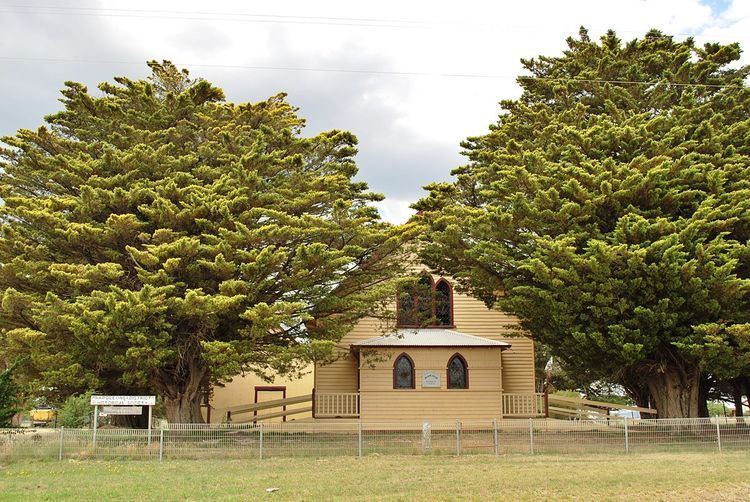
Napoleons is a town in Victoria, Australia in the Golden Plains Shire local government area, 131 kilometres (81 mi) west of the state capital, Melbourne. At the 2011 census, Napoleons had a population of 535.
Map of Napoleons VIC 3352, Australia
The Post Office opened on 1 September 1862, was known as Napoleon until around 1950, and closed in 1971. A Community Postal Agency opened at the Napoleons store on 17 April 2012.
The town is served by Napoleons Primary School, with an enrolment of 180.
References
Napoleons, Victoria Wikipedia(Text) CC BY-SA