
OS grid reference SJ248244 Post town OSWESTRY Local time Monday 6:01 PM | Sovereign state United Kingdom Postcode district SY10 Dialling code 01691 | |
 | ||
Weather 8°C, Wind SW at 26 km/h, 65% Humidity | ||
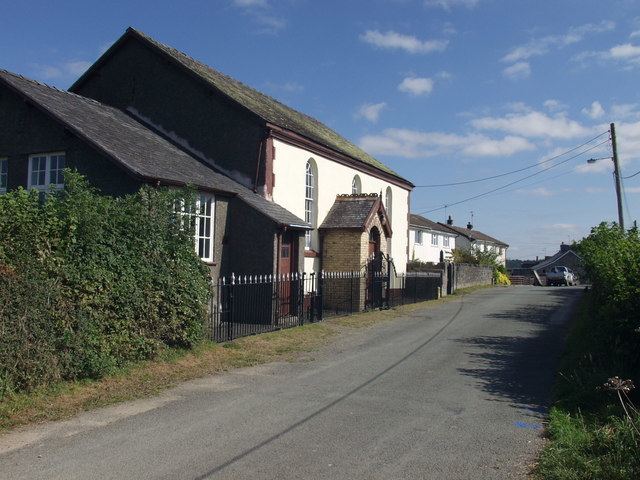
Nantmawr is a village in Shropshire, England. It is located about 8 km south west of Oswestry and close to the Welsh border. The Offa's Dyke Path runs through the village.
Map of Nantmawr, Oswestry, UK
Like many of the towns in the Welsh Marches, the area was formerly Welsh speaking, and its name means "big stream".
The village also forms the terminus of the surviving stub of the former Potteries, Shrewsbury & North Wales Railway, better known as the 'Potts Line', which is currently being re-opened as a heritage railway by the TVLR
Nantmawr has a nature reserve known as "Jones' Rough" managed by Shropshire Wildlife Trust. It is a breeding place for the pearl-bordered fritillary butterfly.
References
Nantmawr Wikipedia(Text) CC BY-SA