
Country India District Birbhum Assembly constituency Nanoor Area 311.8 km² Area code 03463 | State West Bengal Parliamentary constituency Bolpur Time zone IST (UTC+5.30) Population 218,543 (2011) | |
 | ||
Nanoor (community development block) (Bengali: নানুর সমষ্টি উন্নয়ন ব্লক) is an administrative division in Bolpur subdivision of Birbhum district in the Indian state of West Bengal. Nanoor police station serves this block. Headquarters of this block is at Chandidas Nanoor.
Contents
Geography
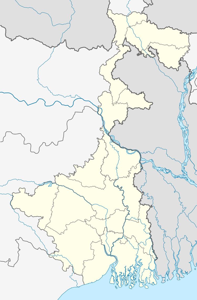
Nanoor is located at 23°43′N 87°52′E.
Nanoor community development block has an area of309.20 km2.
Gram panchayats
Gram panchayats of Nanoor block/panchayat Samiti are: Bara-Saota, Chandidas-Nanoor, Charkalgram, Daskalgram-Kareya I, Daskalgram-Kareya II, Jalundi, Kirnahar I, Kirnahar II, Nowanagar Kodda, Thupsar and Uchkaran.
Demographics
As per 2011 census, Nanoor block had a total population of 218,543, out of which 111,974 were males and 106,569 were females. Nanoor Block registered a population growth of 11.30 per cent during the 1991-2001 decade. Decadal growth for Birbhum district was 17.88 per cent.Decadal growth in West Bengal was 17.84 per cent.
Scheduled castes at 62,993 formed around one-third the population. Scheduled tribes numbered 4,572.
Literacy
As per 2001 census, Nanoor block had a total literacy of 61.18 per cent for the 6+ age group. While male literacy was 69.30 per cent female literacy was 52.73 per cent. Birbhum district had a total literacy of 61.48 per cent, male literacy being 70.89 per cent and female literacy being 51.55 per cent.