
Country India District Vizianagaram PIN 535124 Elevation 126 m Local time Monday 7:42 PM | State Andhra Pradesh Time zone IST (UTC+5:30) Vehicle registration AP-35 Population 2,313 (2011) | |
 | ||
Weather 30°C, Wind SE at 11 km/h, 60% Humidity | ||
Nandigam (Telugu: నందిగాం) is a village in Therlam mandal, Vizianagaram district of Andhra Pradesh.
Contents
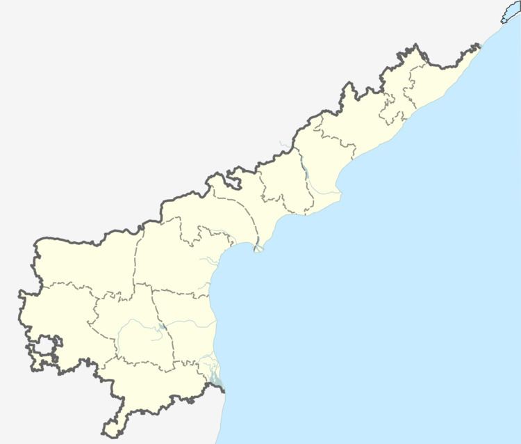
Map of Nandigam, Andhra Pradesh 535124
It is located about 3 km from Therlam and 46 km from Vizianagaram city. Nearest railway station is Bobbili railway station about 19.7 km and nearest airport is Vizag airport about 141 km.
Features
References
Nandigam, Vizianagaram Wikipedia(Text) CC BY-SA